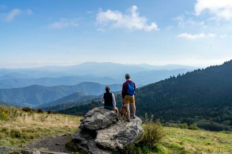
The Blue Ridge Parkway is not just America’s most scenic mountain road; it’s also America’s longest trailhead. For 469 miles, the Blue Ridge Parkway follows the ridgeline of the Southern Appalachians, connecting Great Smoky Mountains National Park in North Carolina with Virginia’s Shenandoah National Park. Along that stretch of two-lane blacktop are countless trails and backroads, some of which lead to ice-cold swimming holes. We’ve rounded up the best of these watery destinations scattered along the Blue Ridge Parkway. Strap on the water shoes and take a Parkway plunge.
 HAZEL RIVER FALLS
Hazel River
skyline drive, milepost 33-34
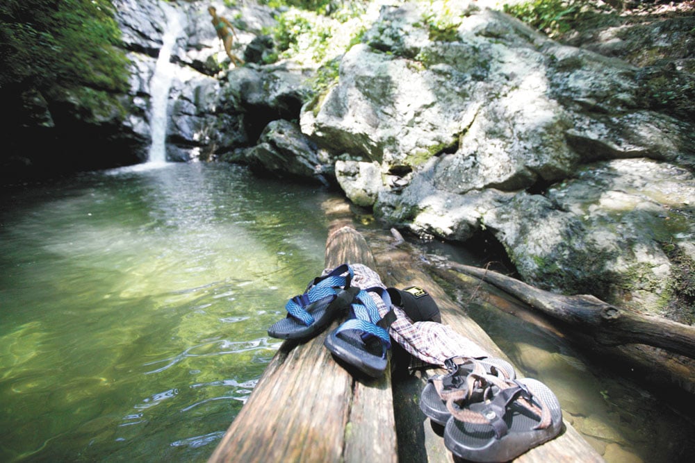
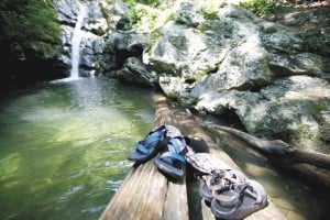
Hazel River Falls is a 30-foot falls cutting through the heart of a small, mossy cliffline. The pool isn’t huge or particularly deep, so jumping is out of the question, but the water is cold, crystal clear, and surrounded by a lush forest. The falls is actually split into two separate drops. Lower Hazel has a deeper swimming pool, while Upper Hazel sits next to a rock overhang that creates a natural shelter with a small cave ready to explore.
Directions
From Meadow Springs Parking Area on Skyline Drive between milepost 33 and 34, take the yellow blazed Hazel Mountain Trail, then go left on White Rocks Trail for .8 miles, where an unmarked trail will lead down to the Hazel River.
RIP RAP HOLLOW
skyline drive, milepost 90
Shenandoah National Park is full of swimming holes, and Rip Rap is one of the largest. You’re looking at a 3.5-mile hike to reach the ice-cold, 50-foot-wide hole, but remember: the longer the hike, the smaller the crowds. You’ll pass a 20-foot waterfall along the way, but the good swimming is further down where the trail crosses the creek. Rip Rap is a calm, greenish blue pool with a trickling rock slide feeding it. The hike alone is worth the effort; you’ll pass breathtaking waterfalls, mountain creeks, and cliffs.
Directions
Park at the Rip Rap trail parking, at milepost 90 along Skyline Drive. Take the A.T. for half a mile to the blue blazed Rip Rap Trail, then follow the trail for three miles as it drops in elevation.
CAMPBELL CREEK GORGE
Campbell Creek
milepost 13.5
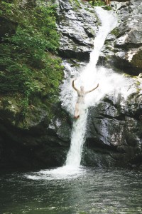
The Mau-Har Trail is one of the Appalachian Trail’s blue-blazed side hikes that has become almost mandatory for thru-hikers because of its stunning beauty. The trail is steep and rugged, but passes through the Campbell Creek Gorge, which is packed with cascades and wading pools. The highlight of the gorge may be the 40-foot Campbell Creek Falls, but another, shorter falls farther down the gorge has better swimming. It drops over a rock ledge into a wide pool with good camping nearby.
Directions
Park at Reeds Gap at milepost 13.5. Take the A.T. south for 1.6 miles, then the blue-blazed Mau-Har Trail for two miles to the gorge.
PANTHER FALLS
Pedlar River
milepost 46
It’s important not to wonder how Panther Falls got its name. Instead, focus on perfecting your cannonball. This small waterfall on the Pedlar River is flanked by two massive boulders ideal for jumping. The deep pool fed by the falls is almost completely surrounded by rock. Three potholes can be found above the falls, along with connected gentle slides. Soaking in one of the refreshingly frigid and smooth tubs can be a sublime juxtaposition to the adrenaline rush of rock jumping.
Directions
From the Parkway, go east on Highway 60, then take a quick right on Panther Falls Road and go for four miles. Park in the lot on the left and take the obvious hike down to the falls.
STATON CREEK FALLS
Pedlar River
milepost 46
Staton Creek Falls may not have the dramatic, vertical drop of other waterfalls in the Southern Appalachians, but it does have what every swimmer is looking for: options. This falls is actually a collection of separate cascades spanning 150 feet, most of which have their own distinct swimming holes beneath them. The largest pool sits at the bottom of the last 50-foot falls, there’s a deeper but smaller pool beneath the top cascade, and a lonely pothole sits in the middle, fed by the second cascade. The water tumbles over slick rocks, so footing is precarious at best.
Directions
From milepost 46, drive east on Highway 60, then north on Highway 605 for under two miles, then right on Highway 833 for one mile to the parking area at the falls.
JAMES RIVER
milepost 63.9
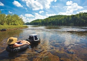
Virginians have used the James River for so many utilitarian things that the river may not automatically come to mind when you’re looking for a swimming hole. But the section high in the Blue Ridge adjacent to the Parkway offers a variety of swimming hole goodies. A.T. hikers and locals have been known to jump from the James River Footbridge into the James’ depths, while more casual swimmers will enjoy floating a section of the river that parallels the Appalachian Trail below the bridge. If you’re really aggressive, you can hike the A.T. all the way to Matt’s Creek Shelter, where you’ll find more secluded, but smaller swimming holes on this tributary of the James.
Jump In: Leaping from the James River Footbridge has become a rite of passage for A.T. thru-hikers. Couple an exhilarating jump with a sublime float downriver on an inner tube, and you’ve got
the makings of a perfect
summer afternoon.
Directions
Exit the parkway at milepost 63.9, then go west on Highway 501 for four miles, crossing the James. Park in the large A.T. parking area, and find the A.T. as it crosses the river via an old rail line that’s been converted to a footbridge.
ARNOLD VALLEY POOL
east fork Elk Creek
milepost 71
It’s hard to imagine a swimming hole prettier than the Arnold Valley Pool. Massive gray boulders surround the swimming hole on three sides, while a five-foot waterfall funnels the East Fork Elk into the deeper water. Some people slide the falls into the pool, and occasionally, you can find a rope swing dangling from a branch. Be careful of jumping, though, as rocks tend to lurk beneath the surface.
Directions
From Petite’s Gap on the Blue Ridge Parkway at milepost 71, drive west on the unmarked Forest Service Road 35, which twists down the mountain for several miles. Park right before the second small bridge over East Fork Elk. •
Whee! Check out video and photos of cliff jumping at some of the Parkway’s best swimming holes here.
HUNT FISH FALLS
Wilson Creek
milepost 311.1
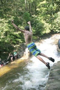
The Wilson Creek area of North Carolina’s High Country is littered with falling water. There are so many options that it’s hard to pick one to highlight. We like Hunt Fish for its sheer beauty and swimming potential. Three wide and deep holes are separated by two 10-foot waterfalls: the first is a sheer vertical drop, and the second is a gradual slide. Squat granite cliffs line one side of the river and flat slabs perfect for sunbathing occupy the other. Swim, slide, sunbathe…Hunt Fish has it all.
Directions
Take the Parkway to Old Jonas Road at mile marker 311.1. Follow the gravel road as it drops from the parkway for two miles, then take FS 464 to the left for six miles (passing a church along the way) to the valley floor. A parking lot on your left with a sign saying “Hunt Fish Falls” marks the spot. It’s a one-mile hike on trail 263 to the swimming hole.
 DUGGERS CREED FALLS
Duggers Creek
milepost 316.4
Forget about swimming laps at Duggers Creek Falls. This is more of a shower/soak than a swim. But the falls is such a neat pocket of water, it’s worth a trip. The 15-foot Duggers Creek Falls drops into a skinny, mossy slot canyon, forming a shallow pool sandwiched by sheer rock walls. An easy trail passes within view of the falls, but the slot canyon is so unique, it begs closer inspection.
Directions
At mile post 316.4, take Linville Falls Road to the Linville Falls visitor center. The easy, half-mile Duggers Creek Trail starts in the parking lot and leads to the falls.
CAROLINA HEMLOCKS
South Toe River
milepost 344
This could be the most family-friendly swimming hole on the Parkway. The South Toe River falls off Mount Mitchell, starting as a skinny mountain stream, then widening in the valley where Carolina Hemlocks Recreation Area is located. The swimming hole sits on the edge of a campground and developed recreation area complete with a sandy beach. Large boulders and slabs line one side of the river, begging for relaxation, while a half-mile tubing run through chutes and slides keeps families entertained. There’s also a 15-foot deep pool for laps, and short rocks for jumping.
Directions
From milepost 344, take Highway 80 north for 5.5 miles to the Carolina Hemlocks Campground.
WHALEBACK
Davidson River
milepost 412
Most people in this neck of the woods will head straight to Sliding Rock or Looking Glass Falls, but the locals go to Whaleback on the Davidson River above the fish hatchery. A massive slab of bedrock forms a horseshoe around a deep swimming hole. A small cascade tumbles into the green pool, which is surrounded by a lush hardwood forest. The pool—20 feet wide and twice as long—marks the spot where Cove Creek meets the Davidson River. Crowds are nonexistent during the week and minimal on weekends.
Directions
At milepost 412, take Highway 276 south for several miles. Turn right on Forest Service Road 475. In three miles, park at the Cove Creek Group Camp and follow the obvious trail to Whaleback.
 GRAVEYARD FIELDS
Yellowstone Prong
milepost 419
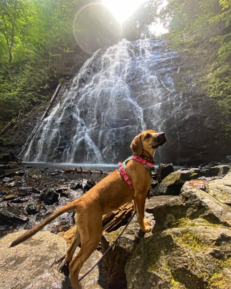
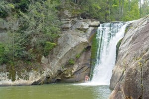
Directly adjacent to the Parkway, the Yellowstone Prong flows through a high-elevation valley that was decimated in the 1920s by extensive logging and a 25,000-acre wildfire. Today, blueberry and blackberry bushes dominate the landscape surrounding the trout stream. Graveyard Fields is one of the most popular destinations on the Parkway, but the three waterfalls on the Yellowstone Prong within the fields are worth the crowds. Second Falls is the easiest to get to, most crowded, and has the best swimming hole. Boulders line the base of the 70-foot falls, creating a picturesque pool. Hike downstream to Yellowstone Falls—a 100-foot slide—or trek 1.5 miles upstream to Upper Falls for more privacy.
Directions
Graveyard Fields is located next to the Parkway at milepost 418.8. Take the obvious trail from the parking area leading to Second Falls.
FLAT LAUREL CREEK
Black Balsam
milepost 420
If the falls at Yellowstone Prong are too crowded for you, find one all to yourself on the Flat Laurel Creek. Flat Laurel Creek Falls is a half-mile series of cascades with a variety of plunge pools adjacent to the Flat Laurel Creek Trail, but more pools can be found if you’re willing to scramble and bushwhack down steep slopes. For the adventurous, long cascading waterfalls with shallow, but picturesque pools await.
Directions
At milepost 420, take the paved Forest Service Road 816 to the Black Balsam Parking Lot and pick up Flat Laurel Creek which will drop 600 feet in 3.7 miles to Highway 215. •
We have even more Southern Swimming Holes to tell you about!
