The United States Forest Service is considering adding as much 264,000 acres of the Pisgah and Nantahala National Forests to its wilderness inventory—a move that would protect the selected acreage from logging, road building, fracking, and mining. While most of the inventoried lands will not ultimately be designated as wilderness, the inventory suggests that the Forest Service is committed to protecting the wild character of the Pisgah-Nantahala.
The new developments are the latest stage in a lengthy planning process that will guide the future of the Pisgah-Nantahala—a swath of land that encompasses some 1 million acres of public land in Western North Carolina—for the next 15 years.
In addition to the potential wilderness additions, Pisgah-Nantahala stands to gain as many as 53 Wild and Scenic River designations under the newly proposed plan.
Currently, there are only three Wild and Scenic rivers in the entire state of North Carolina: the Chattooga River, The Horespasture River, and Wilson Creek.
Newly eligible rivers include the Davidson River, the French Broad, the Linville River, the Nolichucky, the entire Mills River system, and the East Fork Pigeon River, just to name a few.
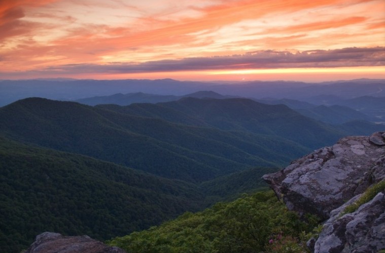
One portion of Pisgah National Forest that would benefit immensely from the Forest Service’s proposed wilderness inventory additions is Buncombe County’s Big Ivy.
Big Ivy, which was previously on the chopping block for potential timber production, has long been a popular hiking, mountain biking, fly fishing, and trail running destination for Western North Carolina locals and visitors alike. The terrain includes the Black and Craggy Mountains, with summits that top out above 6,000 feet, and over 3,600 acres of biologically significant old growth forest. Big Ivy also houses the 70-foot, free-falling Douglas Falls.
“All of Big Ivy except the areas west of Stony Fork and north of Highway 197 are included in the inventory,” reads a statement on the Friends of Big Ivy website. “This would ensure that all current recreational and cultural uses can continue and that Big Ivy’s wild forests and creeks will be protected long-term.”
Our hope is that most of Big Ivy could be protected as wilderness, especially its old-growth forests and pristine headwaters. Big Ivy’s trail system should not be in wilderness but should be managed as a backcountry area, where recreation is prioritized and commercial logging is prohibited.
The latest version of the revision plan would also inventory lands adjacent to existing wilderness areas like the Linville Gorge, the Middle Prong Wilderness, the Southern Nantahala Wilderness, and the Ellicott Rock Wilderness. For a detailed, interactive map that highlights the proposed inventory areas click here.
Right now the Forest Service is actively seeking public input and feedback about the proposed changes. Let them know where you stand by attending the public meeting on from 6 to 8 p.m. November 16 in the Mountain View Room of the Kimmel arena on the campus of UNC-Asheville.


