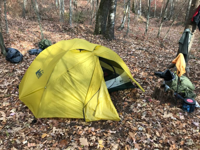
These days, the whole point of going out in the woods might be to get away from technology, but these apps will help you discover new places to go outside and play.
Here in the Blue Ridge, we’re a hiking culture. Getting out in the woods for a hike or run isn’t just a workout, it’s a necessity. The hiking around here is second to none and there is just so much to explore that it would take multiple lifetimes to see it all. Whether you know these trails like the back of your hand, or have no idea where you are, these are the five best hiking apps to help you find new places and unforgettable experiences.
From long-distance thru-hikes to short afternoon treks, if you can’t find a new hike near you with the apps below, then you probably shouldn’t be using a phone.

AllTrails
iOS / Android / Web
With over 6.5M registered users, Alltrails is by far the most popular hiking app in the world. They make the discovery of new routes and planning your trip a breeze. In map view, you can browse an area, click on a pin, and learn more about the trail. Each trail features information like distance, elevation gain, photos, reviews, and more. You’ll know if you can bring Fido, how difficult the hike is, and if the trail is shared with horses and bikes.
Pro Options
AllTrails Pro takes hike planning and tracking to the next level. You can download routes, so when you’re exploring the backcountry and lose service (which is bound to happen), you can still make it home safely. They also feature real-time map overlays like weather, route planning, print maps, and more.
If you want to upgrade to a Pro Account, they have several options available. You can upgrade to an annual plan for $29.99/year or buy a lifetime license for $99.99.

Hiking Project
iOS / Android / Web
One of six apps owned by REI, Hiking Project is a part of a family of outdoor apps that should be on everyone’s radar. Consisting of 38,865 trails (147,471 miles), Hiking Project is easy to use, informative, totally free, and free of ads.
All of the information on hikes is user submitted, featuring trail overviews, up-to-date conditions, need-to-know information, and more. It’s really thorough, especially on the “Featured Hikes.” Each trail features the distance, ascent, descent, and elevations. Users can add photos and reviews as well, adding to the information on each trail. From the trail information page, you can get directions to the trailhead, share it with friends, and add it to your “to-do” list for hiking it later.
Users record their own GPS Tracks for the community, literally mapping trails for others. Hiking Project is a great, and totally free hiking app for planning your next trip into the woods.
ViewRanger
iOS / Android / Kindle / Web
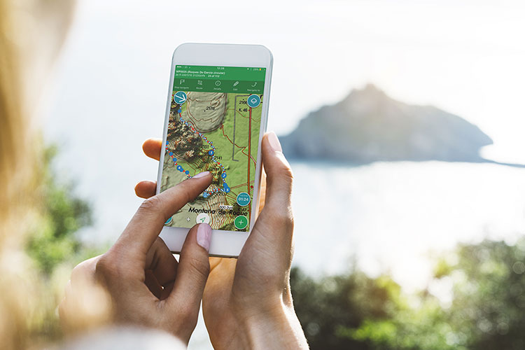
I was really excited to try this one, particularly for the augmented reality functionality. Aptly named Skyline, users simply click on the Skyline Button from the interface, hold up their phone, and they can immediately see the names and distances of mountains, waterways, and landmarks around them. I tried it from our Asheville office’s window. It was cloudy, but I could still see the mountain peaks listed out on my screen.
Though ViewRanger doesn’t feature as many trails as it’s bigger competitors above, they do have a wide range of trails I’ve never heard of with more detail. They have partnered with official mapping agencies in 23 countries to provide their users with quality and highly-detailed topographic maps. The route guides are all users submitted, whether by individuals, outdoor brands, the Parks Service, or tourism agencies. Turning on notifications allows ViewRanger to notify you when new routes are added to your area.
In the app, you can plot a route with points to follow, add a point of interest to check out later, or turn on your Buddy Beacon, which allows you to see and share locations with friends. When out in the wilderness (where cell service doesn’t live), users can track their explorations offline and stay on route via GPS. On your hike, you can record your progress with metrics like time, distance, elevation, and speed.
To download a route, however, you have to pay. Map and route packs vary from $8.99 t0 $54.99. You pay for credits, which allow you to download maps and routes for tracking and offline access.

Komoot
iOS / Android / Web
Though Komoot is considered more of a route planning app, it’s a great tool to discover new hiking trails in your area. You choose an activity, whether hiking, biking, or running, and plan your route. With a focus on better, “more intuitive” navigation, users can keep their adventures on track with turn-by-turn navigation, even when offline in the wilderness.
From the dashboard, you have three places to go: Collections, Highlights, and Tours. Collections are curated by the app’s team and feature collections of trails to explore in certain areas. Highlights feature recommended trails by the Kommot community. Tours are detailed breakdowns of routes by users featuring photos, notes, and more along the way.
The amount of detail in their route planning is pretty stellar. Once you click on the “Plan” icon at the bottom of the screen, you select an activity, set an end destination, and the app plans the best route for you to get there. When finished, they show the distance, elevation, and estimated time to complete the route. When planning, you can pinch-to-zoom on your elevation profile and really get into the nitty-gritty details of your route.
While hiking your route, the app will send you notifications just ahead of your turn, keeping you on track the entire time. That’s especially helpful when out in large forests with many unmarked trails. The app connects with your Garmin watch to sync routes and recordings, as well as the Health app on your Apple Watch. At the end of your adventure, Komoot automatically logs your route to relive and share with friends.
To use turn-by-turn navigation, offline maps, and receive map updates, you must upgrade for $29.99. Pretty affordable for a world of hiking.

Gaia GPS
iOS / Android / Web
I recently stumbled upon Gaia GPS and it’s a nifty little GPS app with a lot of features. In such a simple package, they have an overwhelmingly detailed mapping/navigation app. Hell, it even tells you where the closest parking lot is in downtown Asheville.
Using the map, you can scroll around to find new parks, trails, and landmarks to explore. Clicking on a location gives you the option to learn more about it. They share the distance, elevation gain, and access information on each trail. The free version lets you download maps for an area to navigate and track progress offline.
When the GPS is open, you see your current altitude, speed, direction, and of course, location. You can push record at any time to start tracking your trip, and there is a shortcut for snapping a quick photo along your route.
To download premium offline maps, unlock universal sync, upgrade mapping tools, and share your progress, you will need to subscribe to Gaia GPS for $19.99 a year.
If you’re looking to find new places to explore, you can download the National Geographic maps, US Hunting Maps, and IGN maps for $39.99 a year.
I frequently catch myself just browsing through these apps, even when I’m not planning a hike. Just discovering new places to go is fun in itself.
See you on the trails.
Justin Forrest is an outdoor writer, fly fishing addict and web designer based in Asheville, N.C. He posts pictures of cats and fishing on Instagram sometimes.
