By Pat Byington
Before there was GPS and Mapquest, we used this thing called a road map.
Every summer in the early 80s, my family would pack up the 1966 Checker Cab station-wagon, leave our home in Muscle Shoals, Alabama, and travel to cities as close as Chattanooga and as far as Portland, Oregon. Unfortunately, one thing my father tended to do on these trips was to “go it alone” – forgo the road map (even though we had one in the glove compartment) and refuse to stop at the local gas station and ask for directions.
Occasionally, we would get lost and travel through some pretty shady places. The entire family, hours from our destination, would practically beg dad to use the road map. When we finally arrived late at the hotel or relative’s home, everyone was exhausted, frustrated, and flat out tired.
Road map. Gotta have one.
Unfortunately, when it comes to planning for the future of our national forests in the South, the U.S. Forest Service is refusing to use a road map, too.
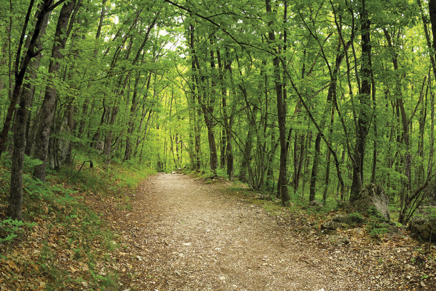
In October, 2014, the U.S Forest Service proposed plans to open two thirds of the Nantahala-Pisgah National Forest to potential logging as part of the 15-year forest plan. That’s two out of every three acres of our National Forests opened to logging and road building. The Forest Service has made their proposal to increase logging without a road map or the money to do so. Without a road map, the Forest Service is literally driving blind.
More logging equals more roads. And roads cost money. Presently the Forest Service receives only about 13 percent of the funds they need to maintain the current road system.
Under the proposed plan, the Forest Service will substantially expand the road system to access more land for timber harvesting. The profits go to commercial timber companies; we the taxpayers will ultimately pay for the roads.
The U.S. Forest Service road system already has more miles than the U.S. interstate system. And all of those roads cause increased erosion and sedimentation, provide an avenue for the entry and spread of invasive species, fragment wildlife habitat, destroy viewsheds, and reduce the amount of wild backcountry areas available for permanent protection. Water quality will be degraded, which will affect whitewater paddling and fishing. In the Pisgah-Nantahala, up to 35 different trails could be destroyed or impaired by the proposed plan, which could mean the bulldozing of many beloved hiking, running, and biking trails.
The Forest Service declared their road building and timber harvesting proposal for the Nantahala-Pisgah before completely hearing from their constituents. Like my dad, because the Forest Service decided to work without a roadmap and fully listen to their family—the public—they are lost.
With a good road map, we can restore our forest, support wildlife, strengthen and foster the outdoor recreation economy, and save special places. We are beginning our journey—it’s about time we get a map before we travel much farther down this road.


