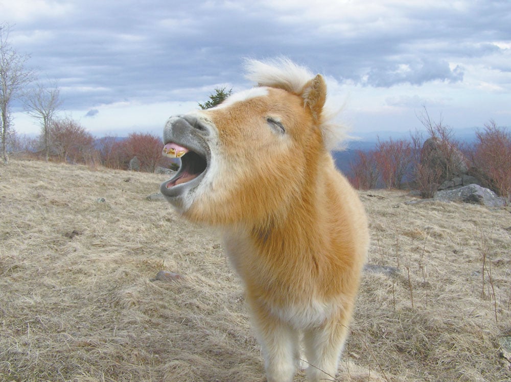
Grayson Highlands State Park is an easy portal to the vast 120,000-acre Mount Rogers National Recreation Area in Southwest Virginia. In fact, Grayson Highlands was originally called Mount Rogers State Park when it opened in 1965. The Highlands are an expansive windswept grassland with fields of rocky outcroppings, which offer spectacular views of the region’s tallest peaks. Grayson Highlands also boasts plush backcountry camping spots and the occasional sighting of wild ponies. The miniature horses often ask visitors for handouts; state park officials ask that you resist the temptation to feed them, which leads to nuisance and health problems for the horses.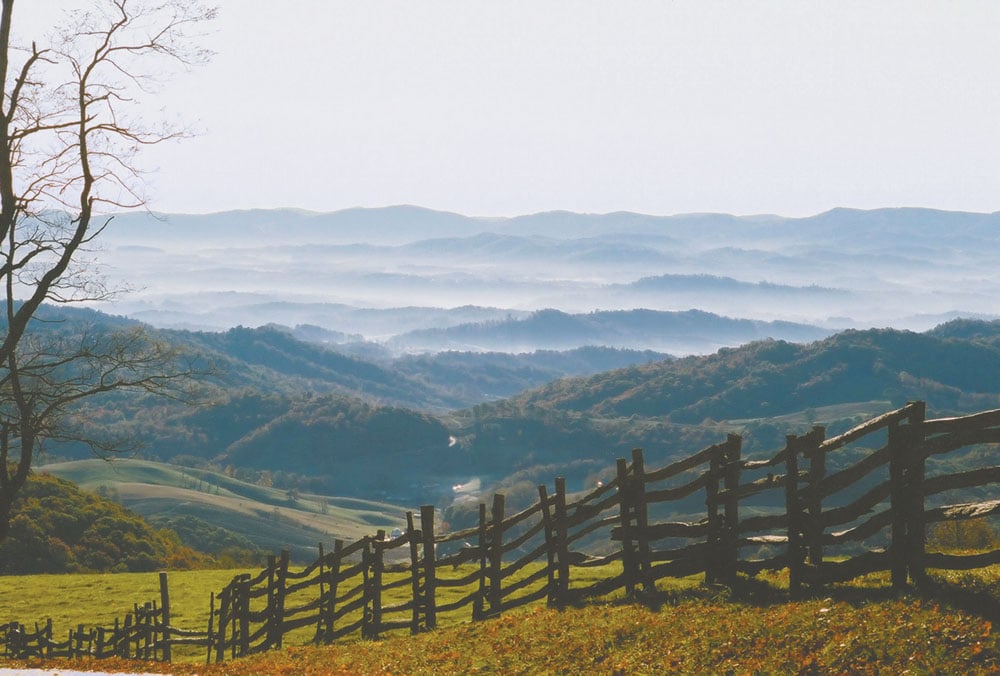
- Summit Rogers
From Grayson Highlands you can easily bag the biggest peak in Virginia, 5,729-foot Mount Rogers. The biggest reward about topping Rogers isn’t standing at its summit, which is engulfed in forest, but the scenic eight-mile round-trip jaunt. Starting at Massie Gap, follow the Rhododendron Trail to the Appalachian Trail. Along the way you’ll cross the outcroppings of Wilburn Ridge, which offers panoramic views of the Highlands Range. In late spring and early summer, enjoy colorful thickets of wildflowers as you cross through Rhododendron Gap at the juncture with the A.T., which then goes on to the summit. - Sleep UNDER THE STARS
The state park has 96 established campsites with nearby toilets, grill pits, and a general store with other creature comforts. But Grayson Highlands also affords an abundance of appealing backcountry slumber options. Just jump on the A.T. and you’ll run into a number of inviting open fields with grassy plots that are perfect for a night under the stars. - Road to Damascus
For local eats and accommodations, head into the quaint little trail town of Damascus, located 20 miles west of the park on Route 58. Grab a quaint cottage at Creeper Trail Cottages (creepercottage.com), or work up an appetite with a bike ride (sundogoutfitter.com) on the Virginia Creeper Trail. Damascus sits midway along the 34-mile rail trail, which runs from Abingdon to Whitetop Station.


