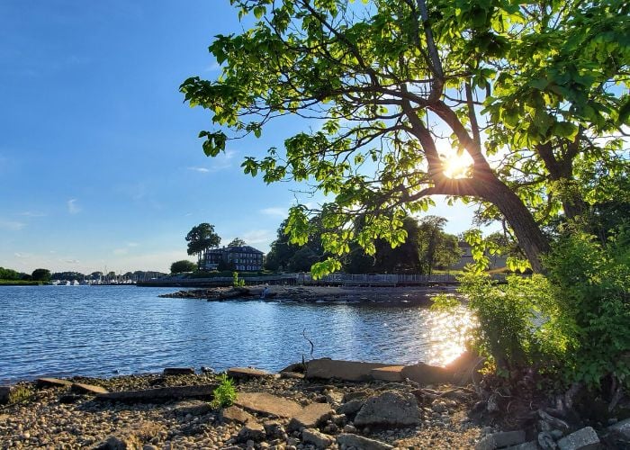
Add some altitude to your adventure with a visit to the highest peaks in Virginia.
Summit two peaks in one trip, with a hike to Mount Rogers and its close runner up, Whitetop Mountain. Located in the vast Mount Rogers National Recreation Area of Southwest Virginia, these two peaks are still within easy access to the trail town of Marion, and its restaurants, art galleries and music scene.
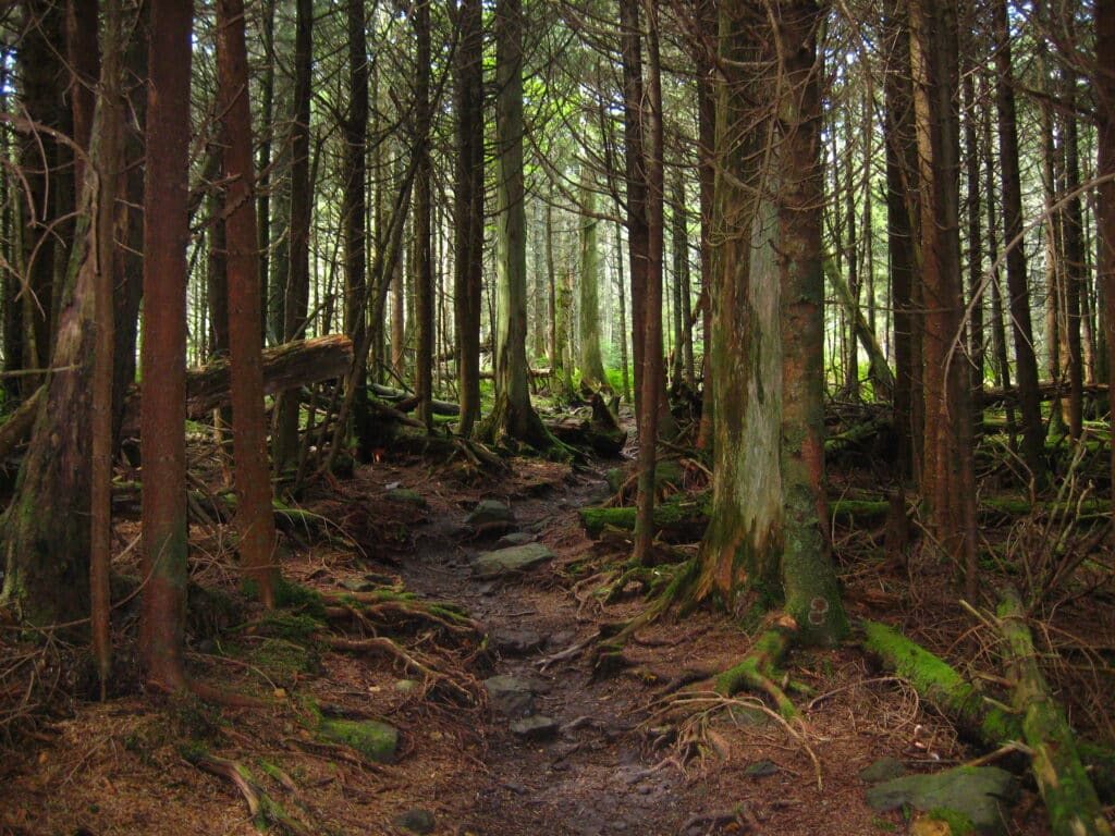
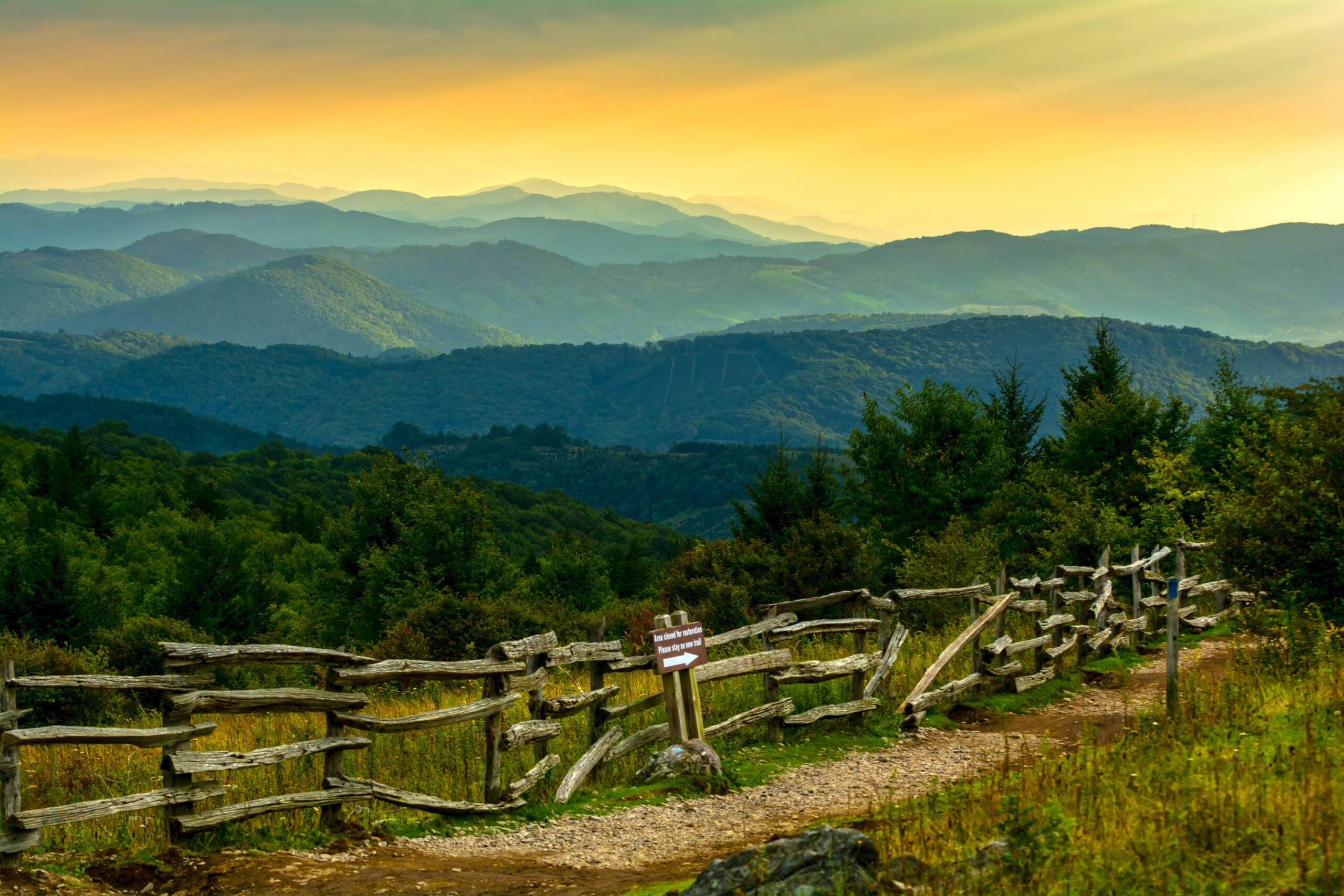
At 5,730 feet, Mount Rogers just barely edges out the nearby Whitetop Mountain, but the terrain could not be more different. While there are plenty of sweeping mountain vistas nearby, Mount Rogers is densely wooded, winding through stands of spruce and fir trees, the trail cushioned by a thick layer of moss and spruce needles. Some visitors complain that there’s “no view” from the summit, but most people who hike the trail are struck by its quiet, almost otherworldly beauty. At the summit, look for the National Geodetic Survey disk, located at the exact line between Smyth and Grayson Counties
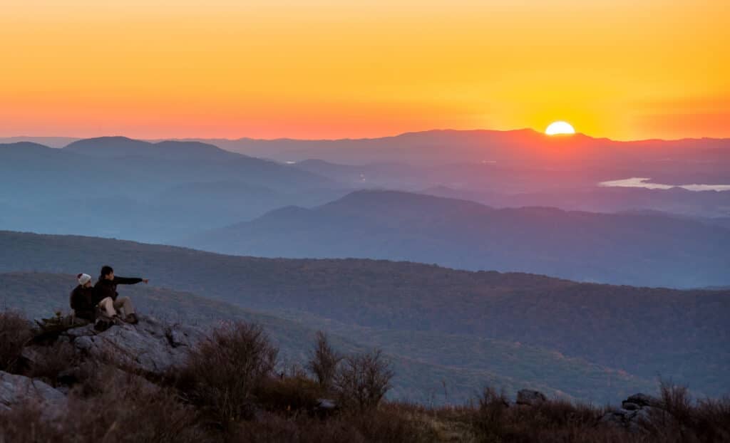
Insider tips
Mount Rogers is accessible by a spur trail off of the famous Appalachian Trail. Access the trail with a 7 mile hike from nearby Grindstone Campground, or take a shortcut through the adjacent Grayson Highlands State Park. As you hike, keep an eye out for the wild ponies who wander through this area, but remember, do not feed or approach them! Help keep wildlife wild, and enjoy a photo op from a distance.
Backpackers can easily take the Appalachian Trail from Mount Rogers to Whitetop Mountain. Alternatively, hop in the car and take the winding road up to the summit. It’s true: Whitetop Mountain is located on the highest road in Virginia, and a public parking area means you could enjoy the view without ever leaving your car.
Other top spots
While you’re in the area, check out some other top spots for altitude and great views (pun fully intended). Take a scenic drive to Skulls Gap Overlook near Chilhowie. This small overlook packs a punch, offering panoramic views and the trailhead for the extensive Iron Mountain Trail. Make a stop at Blue Ridge Discovery Center in Konnarock, then head back to Chilhowie to stroll the boutiques and antique stores of the newly restored historic district.
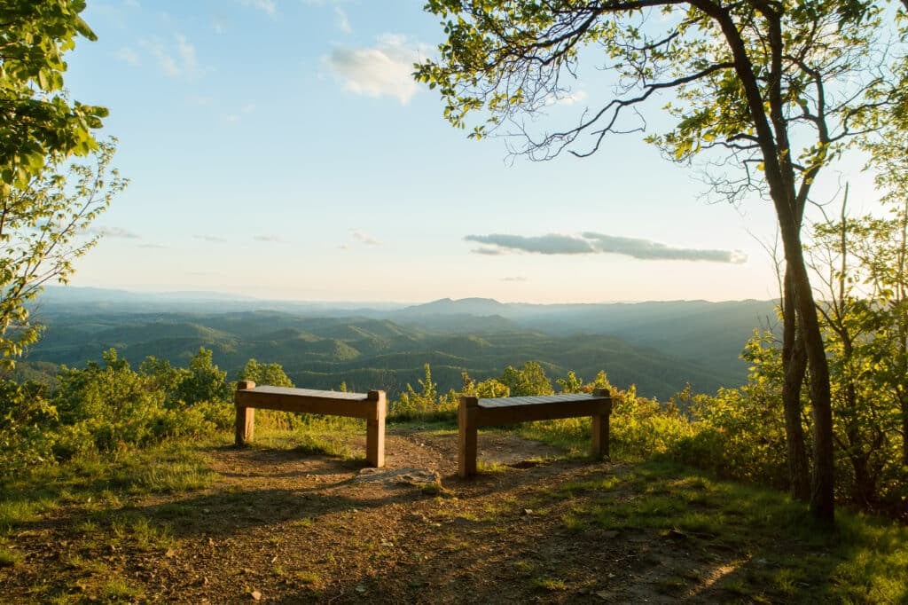
You’re in for an exhilarating and challenging hike to Molly’s Knob, located in Hungry Mother State Park. The reward is worth the climb, with nearly 1000 feet of elevation gain on this 1.6 mile hike to the top. You’ll be mesmerized by the mountain views at the summit, and enjoy catching your breath on the two benches welcoming hikers who met the challenge. Afterwards, make your way to downtown Marion for dinner, or a pint at 36 Fifty Brewing.
Head over to the historic town of Saltville to explore The Well Fields, the only high altitude saline marshes in Virginia. Free birding and history guides are available at the Museum of the Middle Appalachians. Step back in time with a hotdog and onion rings at Buck’s Drive In before hiking or biking the Salt Trail, a converted rail-trail that begins in the heart of downtown Saltville.
