The Long Way
Sure, everyone’s heard of the Appalachian Trail—the famous footpath that draws almost three million hikers a year. But it’s not the only long-distance trail in our neck of the woods. The Southeast is crisscrossed with plenty of other lengthy paths, and most of them don’t see many thru-hikers. Here are five options for long hikes with little foot traffic.
Foothills Trail, North Carolina and South Carolina
Winding through northwestern South Carolina and western North Carolina, the Foothills Trail is an extended highlight reel, packed with some of the most spectacular natural wonders in the Carolinas. Bookended by state parks, the 77-mile route stretches from Oconee State Park to Table Rock State Park, tracing a stretch of the Chattooga Wild and Scenic River, skirting the northern reaches of Lake Jocassee, and perforating the Jim Timmerman Natural Resources Area at Jocassee Gorges.
The route is especially rich in flora and fauna, particularly the Jocassee Gorges region, a botanical wonderland renowned for wildflower displays, headlined by seasonally blooming trout lilies, lady slippers, and endemic Oconee bells. The main Foothills Trail is also splintered with more than 35 miles of side trails and spurs, including the 14-mile offshoot linking Sassafras Mountain and Caesar’s Head State Park.
Massanutten Trail, Virginia
Located just 75 miles from Washington, D.C., in the George Washington National Forest, Virginia’s Massanutten Trail is an easy weekend getaway—but the 70-mile circuit can also be done as an extended excursion. Created in 2002, through a partnership between the United States Forest Service (USFS), the nonprofit Potomac Appalachian Trail Club, and a handful of local trail organizations, the trail forms a loop around the northern section of Massanutten Mountain, a 50-mile long massif that bisects the Shenandoah Valley and splits the Shenandoah River into its north and south forks.
The bulk of the route traces Massanutten’s ridgelines, notched with panoramic promontories offering views of Fort Valley, Great Mountain, and the silhouetted peaks of the Blue Ridge. The loop also provides a snapshot of the region’s history. Much of the recreational infrastructure on the eastern side of Massanutten Mountain was built by the Civilian Conservation Corps during the Great Depression, including stretches of what is now the Massanutten Trail. But portions of the route are hewn from colonial roads used during the American Revolution, and Signal Knob, one of the trail’s overlooks, was also a vantage point used by both Union and Confederate troops during the Civil War.
While road access to the route is limited, there are three seasonal USFS campsites along the route, including the Little Fort Campground, the Elizabeth Furnace Family Campground, and the Camp Roosevelt Campground, the location of the country’s first Civilian Conservation Corps camp, established in the spring of 1933. During warm-weather hikes, try to grab a campsite at Elizabeth Furnace to take full advantage of Passage Creek’s natural swimming holes.

North Fork Mountain Trail, West Virginia
The North Fork Mountain Trail traverses one of the highest ridgelines in West Virginia, tracing the spine of eponymous North Fork Mountain in the Monongahela National Forest. The 25-mile route extends north from Judy Gap to Chimney Top, navigating a patchwork of globally rare plant communities. The mountain is one of the driest peaks in the eastern United States, thanks largely to the summits and ridges of the Alleghenies, which shield North Fork Mountain from weather systems arriving from the West. The dry conditions foster the peak’s floral diversity, which includes red oak forests and ancient barrens studded with pitch and table pines, warped by the winds whipping the high elevation ridge.
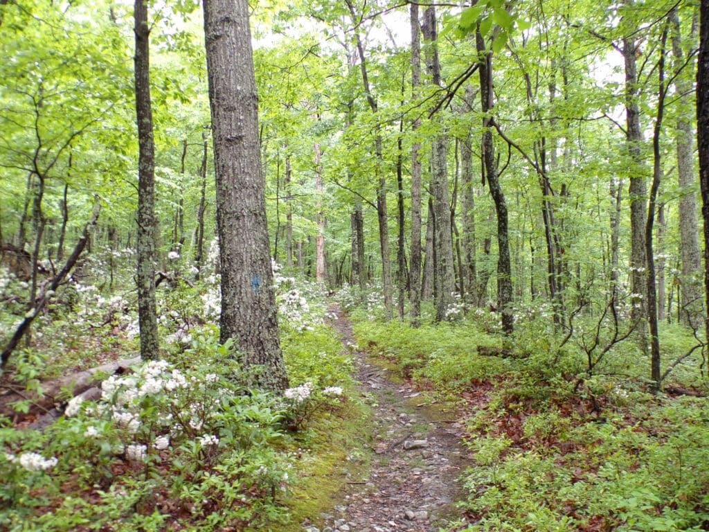
To preserve the peak’s rich biodiversity, The Nature Conservancy started buying parcels of land on North Fork Mountain in the early 1980s and now manages more than 4,500 acres on the peak, including the Panther Knob Preserve and the Pike Knob Preserve. Beyond the biodiversity, the North Fork Mountain Trail also dishes up some of the most spectacular views in the Mountain State. The western edge of the Great North Mountain is buttressed by a vertiginous wall of Tuscarora quartzite, reaching heights of more than 200 feet and offering expansive views of Seneca Rocks, Germany Valley, and Spruce Knob, West Virginia’s highest peak.
Pine Mountain Trail, Kentucky and Virginia
Traversing one of the most biodiverse peaks in the central Appalachians, the Pine Mountain Trail is slated to become a 120-mile hiking route, linking Breaks Interstate Park and Cumberland Gap National Historical Park. So far, the approximately 80-mile stretch from Breaks Interstate Park to Kingdom Come State Park is complete, and it includes four shelters and five backcountry campsites for thru-hikers.
Forming a portion of the 1,800-mile Great Eastern Trail, the footpath follows the crest of Pine Mountain, weaving through a patchwork of wildlands, including parks, wildlife management areas, and nature preserves. Today, almost half of Pine Mountain is protected, the result of an effort to create a contiguous conservation corridor extending the entire length of the whaleback ridge, spearheaded by the nonprofit Kentucky Natural Lands Trust. And thanks to this ongoing conservation effort, most of Pine Mountain is still blanketed with contiguous forest, providing critical habitat for native wildlife. Eliminated from Kentucky by the early 1900s, American black bears used the patchwork of habitat on Pine Mountain to recolonize the state, arriving from Virginia, West Virginia, and Tennessee. Today, Pine Mountain is also a critical summer stopover for migratory birds and Rocky Mountain elk, reintroduced to Kentucky from 1997 through 2002.
The 26-mile stretch from Breaks Interstate Park, appropriately nicknamed the Grand Canyon of the South, to Pound Gap tops out at 3,144 feet on Birch Knob, a promontory studded with an observation deck providing expansive views extending into four different states.
Sheltowee Trace, Kentucky and Tennessee
Conceived as a way for backpackers to trek the entire length of the Daniel Boone National Forest, the Sheltowee Trace was dreamed up by Verne Orndorff, a landscape architect for the US Forest Service tasked with constructing trails and overlooks. The trail was named for pioneer and long-hunter Daniel Boone, who was given the nickname Sheltowee, or Big Turtle, by the Chillicothe branch of the Shawnee. Officially recognized as a National Recreation Trail in 1979, the 343-mile footpath now forms the spine of Daniel Boone National Forest, extending from the protected area’s northern edge to the southern boundary of the Big South Fork National River and Recreation Area.
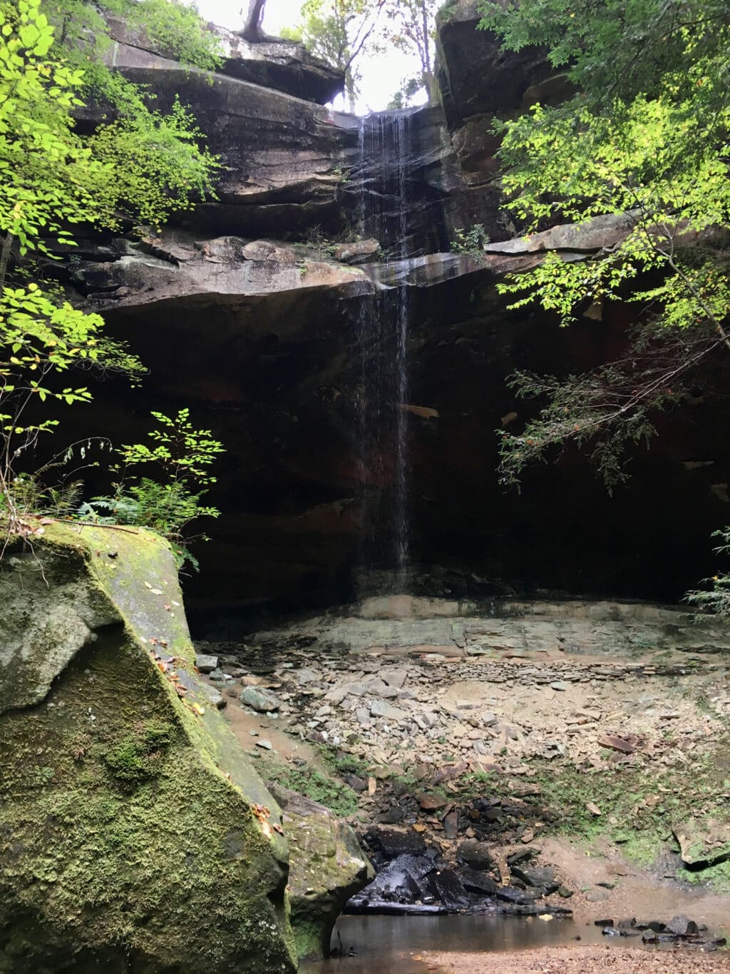
Along the way, the interstate trail links a handful of state parks, skirts two massive lakes, and showcases rock arches and secluded backcountry waterfalls. If possible, plan to camp near 68-foot Cumberland Falls in southern Kentucky, a little more than 200 miles from the Sheltowee Trace’s northern terminus. The boxy cascade is about 125 feet wide, and beneath a full moon, the volume of water creates a moonbow, a rare optical phenomenon only observable in a handful of places around the world.
Cover photo: Foothills Trail. Photo by Malee Oot
