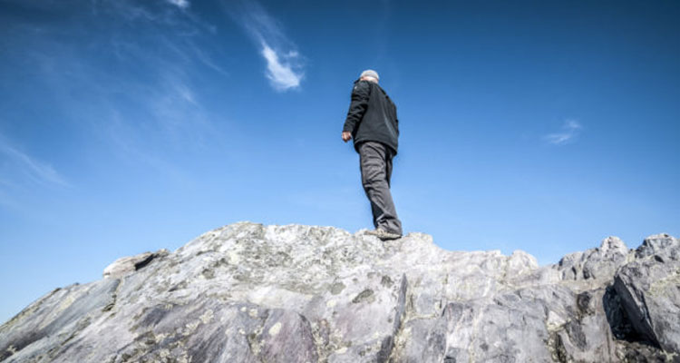
You may find yourself at a loss for words as you reach the top of your first Virginia mountain. Which is OK, because the panoramic view of the surrounding ridges and valleys stretching endlessly toward the horizon won’t require much talking.
The good news is that mountaintop scenes like this abound in Virginia—and could keep you busy bagging summits for years. The town of Abingdon, VA offers a convenient base camp for peak baggers, with plenty of restaurants and lodging options, and an active nightlife.
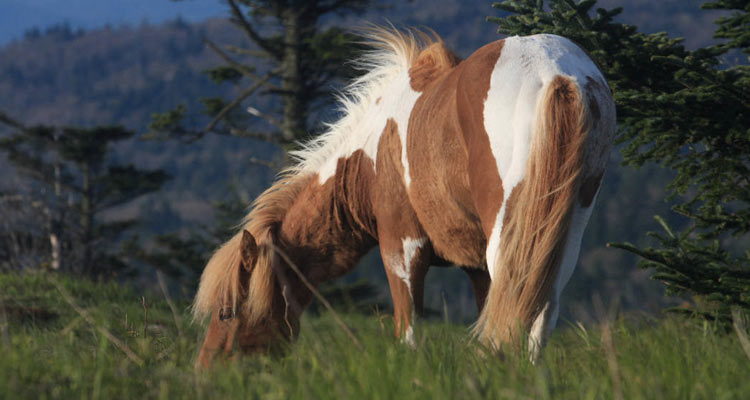
Of course, a hiking tour of Virginia wouldn’t be complete without a trip to the state’s highest point, Mount Rogers, which does require a bit of a walk. At 5,728 feet, Mount Rogers may not be at an especially grand elevation, but it is set amid some pretty spectacular scenery. The nine-mile, out-and-back hike to the mountain’s summit begins at Massey Gap, just an hour from Abingdon, and meanders through Grayson Highlands State Park and George Washington and Jefferson National Forest, sticking to the Appalachian Trail for most of the way. In the rolling high-country pastures here you can often catch glimpses of the famed wild ponies that roam the area, using their impressive looks to try and pilfer snacks from visitors. Don’t be fooled, they are wild animals, and should be given plenty of space.
Just before the summit, the trail enters a beautiful old-growth spruce/fir forest that encompasses the top of the mountain and pretty much obliterates any views. Don’t let this discourage you, though: All along the approaching trail you’ll enjoy sweeping vistas of the surrounding highland balds and peeks into the lush valleys below.
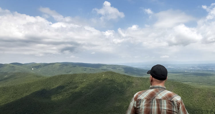
A visit to Virginia’s second highest point requires significantly less effort. The state’s highest navigable road will take you very nearly to the summit of Whitetop Mountain. All that’s left when the well-maintained gravel road runs out is about a half-mile hike to another spectacular peak. Like Mount Rogers, Whitetop Mountain is also cloaked in an old forest, but the trees leave room for a panoramic view of three states. This mountain is an ideal spot to catch a lovely Virginia sunset, especially since the walk back to the car is so brief.
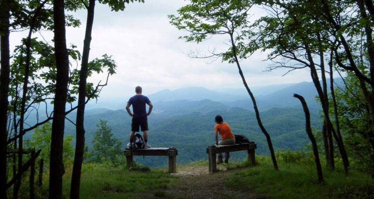
Another of Virginia’s many gorgeous recreation areas, Hungry Mother State Park, is a wonderful place to take a small walk for a big view. The 1.6-mile roundtrip hike to Molly’s Knob is moderately difficult (it becomes a bit steep near the top) and weaves through dense rhododendron tunnels on the way to the summit. At about half a mile, the trail offers a clear view of the prominent Molly’s Knob, the park’s highest point, and the lake below. The final half mile of the hike becomes quite steep as you push for the summit, but you’ll be rewarded by two welcoming benches at the top.
Abingdon, VA offers plenty of resources to plan your hike at VisitAbingdonVirginia.com.
Originally written by RootsRated for Southwest Virginia.
![]()


