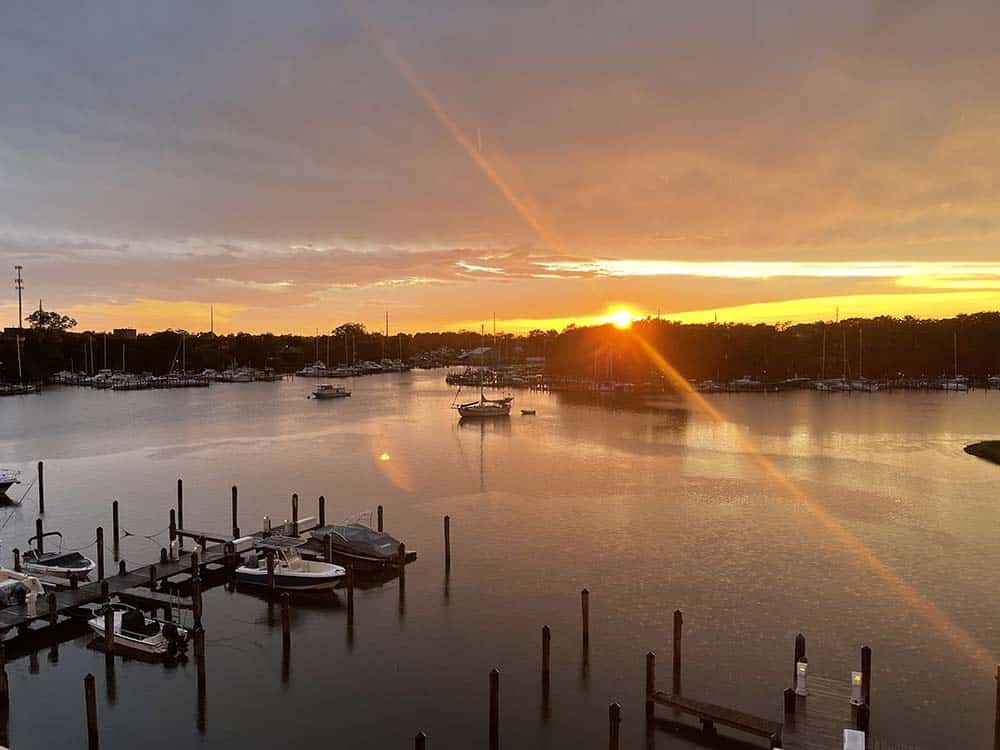
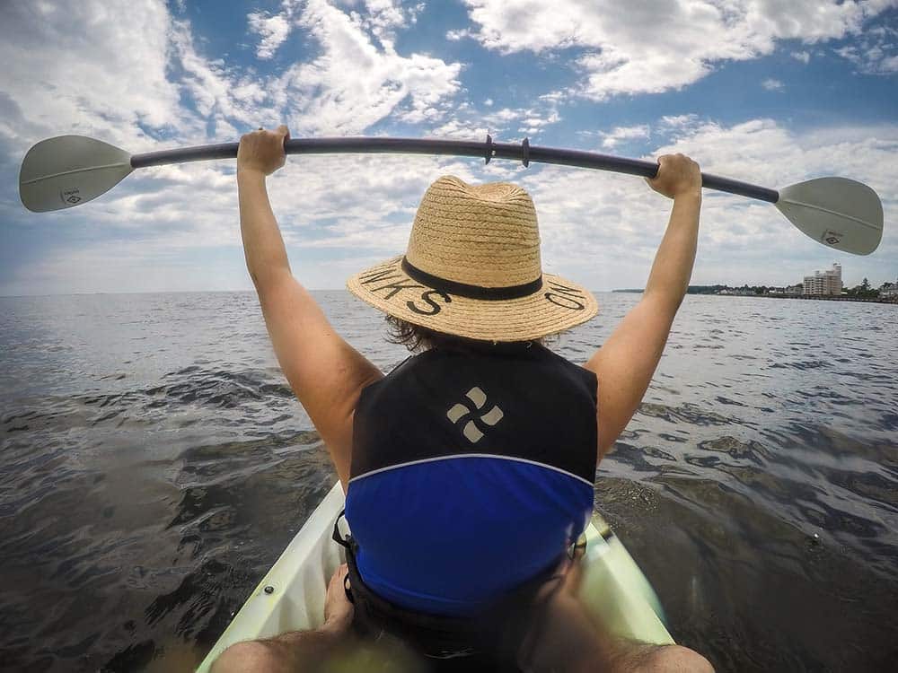
Calvert County, Maryland presents a natural landscape shaped by wind, tide and time. Paddle the waterways of the Patuxent River to journey into a world rich in history and filled with natural splendor.
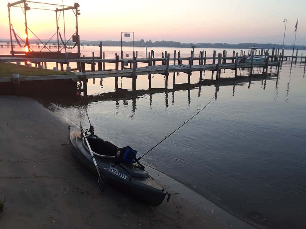
Dugout canoes, sailing workboats such as skipjacks and bugeyes and steamboats all plied these waters in times past. Today, recreational paddlers follow the same routes to revisit a rich history. Canoes and kayaks can be launched from boat ramps, beaches and other shoreline areas. Read on to explore some Patuxent River water trails and routes in and around Calvert County, Maryland.
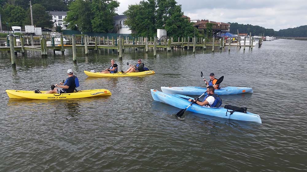
FISHING CREEK
Where to start: Marina West, 4055 Gordon Stinnett Blvd., Chesapeake Beach, Maryland
Distance: Approximately 5.5 miles round trip if you go the full length of the creek.
Difficulty: Easy.
This trail starts and ends at the soft access at Marina West in the Town of Chesapeake Beach. Launch and head west along Fishing Creek. The sheltered nature of the creek makes it an easy route for paddlers of all abilities. The trail passes working waterfronts, marshes and upland forests. Kayaks and stand-up paddleboards can be rented from nearby Chesapeake Beach Water Sports. Don’t forget to bring binoculars, as the boardwalk that flanks the creek is listed on the Calvert County Birding Trail.
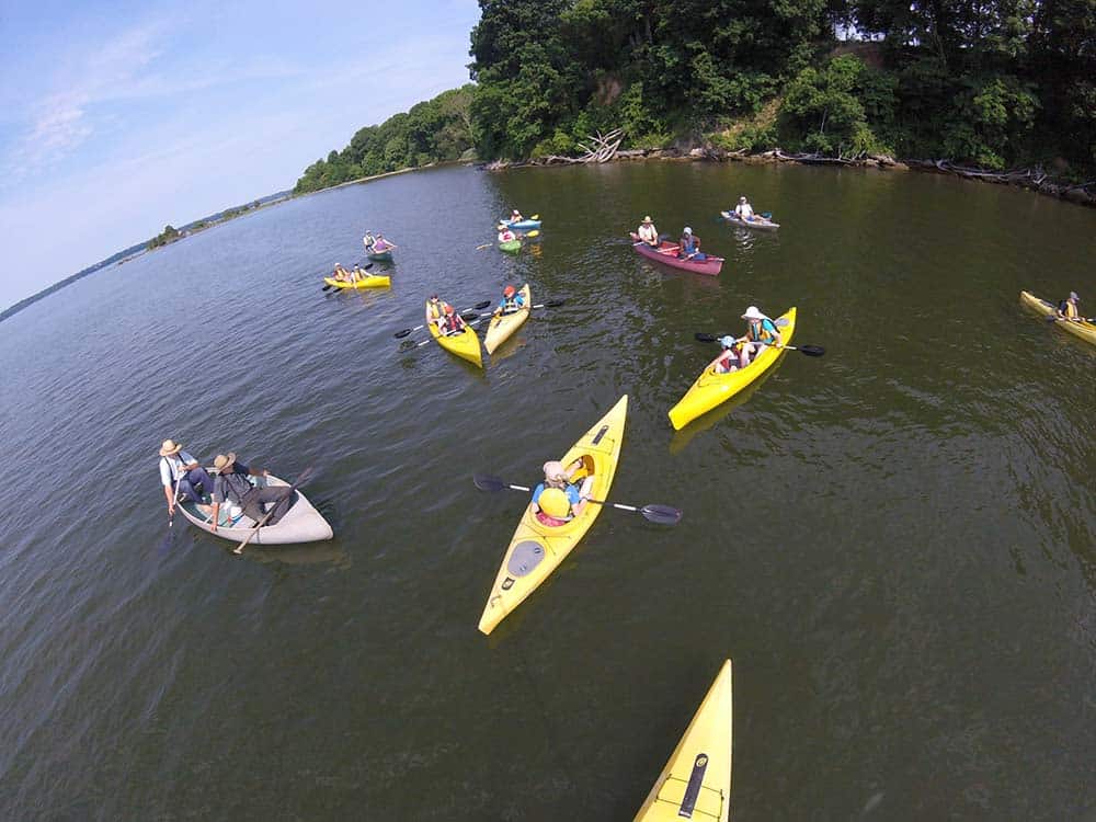
KINGS LANDING TO COCKTOWN CREEK
Where to start: Kings Landing Park, 3255 Kings Landing Road, Huntingtown, Maryland
Distance: Approximately 2 miles round trip.
Difficulty: Easy to Moderate.
This trail starts and ends at Kings Landing Park and takes paddlers along the sheltered and meandering waters of Cocktown Creek. Paddlers seeking a more challenging experience have options for extended routes by continuing north or south on the Patuxent River, going north on Chew Creek or west toward Black Swamp Creek. Paddling the open waters of the Patuxent River can be difficult if it is windy or if there is a strong current.
Launch from Kings Landing Park and go north on the Patuxent River. Turn right onto Cocktown Creek, the first creek on your right. The entrance to the creek can easily be missed – there is a duck blind located along the northern shore at the mouth of the creek, so keep an eye out for it. This creek is shallow and calm and winds through wetlands and low marsh bordered by higher forested areas. Depending on the time of year, you may see osprey nests and a variety of plants. Approximately one mile from the mouth of the creek the waterway begins to narrow, be sure to leave enough room to turn around. After a day of paddling, check out some of the local spirits along the Calvert County Wine & Ale Trail.

HALLOWING POINT TO CANEY CREEK
Where to start: Hallowing Point Waterfront Park, 6904 Hallowing Point Road, Prince Frederick, Maryland
Distance: Approximately 4 miles round trip.
Difficulty: Moderate to Challenging.
This route takes paddlers a short distance north along the Patuxent River, under a bridge and into the sheltered waters of Caney Creek. The entrance to the creek is approximately ¼ mile north of Hallowing Point Waterfront Park and is located near a private community pier. The creek meanders through an area of low marsh and wetlands. Continue along the creek for approximately 1.75 miles. Caney Creek ends in a shallow open area where you can turn around and retrace your route. At the end of your day, tuck into a locally caught seafood meal at any one of several excellent Chesapeake Bay restaurants.

JEFFERSON PATTERSON PARK TO ST. LEONARD CREEK
Where to start: Jefferson Patterson Park, 10515 Mackall Road, St. Leonard, Maryland
Distance: It is approximately 1 mile, one-way from the park’s northern access point to the southern access point.
Difficulty: Challenging.
This route is on open water and should not be attempted by inexperienced paddlers. Paddling the open waters of the Patuxent River can be difficult if it is windy or if there is a strong current. The trail starts at Jefferson Patterson Park’s northern water access point. Head south on the Patuxent River for approximately 1 mile. Look for a series of stone breakwaters along the shoreline, these indicate that you are nearing Petersons Point at the mouth of St. Leonard Creek. The southern water access site is located on the beach behind the second breakwater on the western side of Peterson’s Point. While at Jefferson Patterson Park, explore other outdoor activities including a visit to a recreated Native American Village or one of their many meandering hiking trails.
