
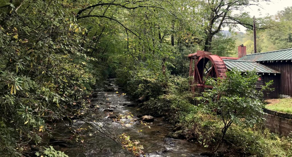
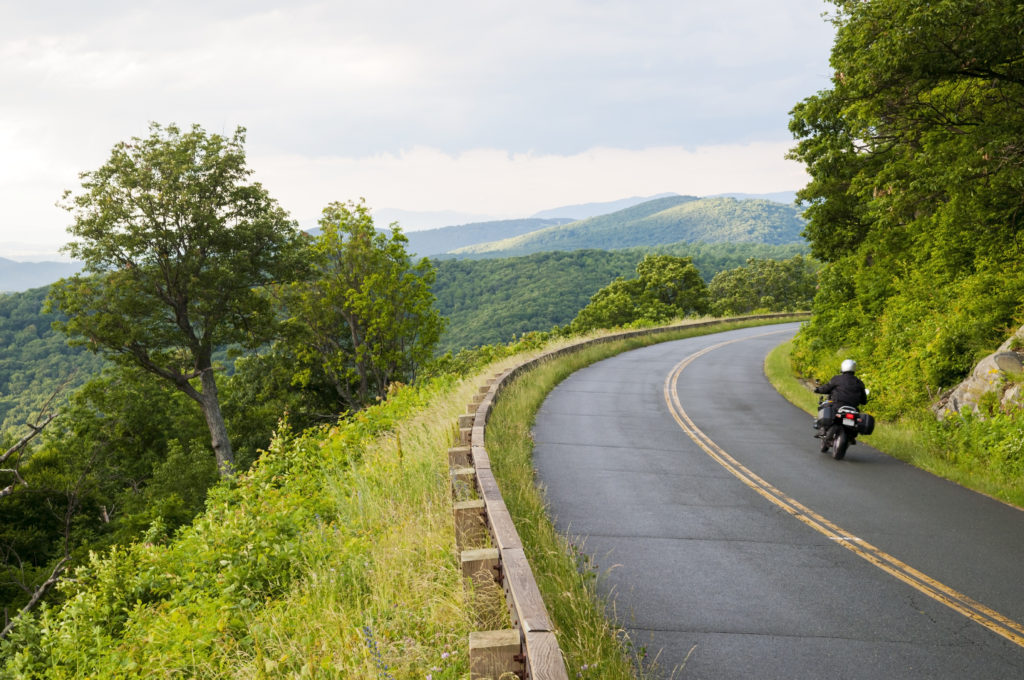
 The Pisgah National Forest spreads throughout western North Carolina and into McDowell County. With close to 70,000 acres surrounding the towns of Marion and Old Fort, you’ll find these mountains provide the ultimate landscape for outdoor adventures.
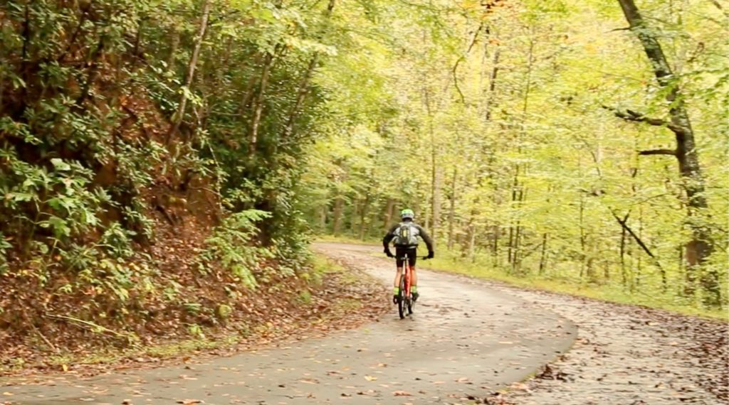
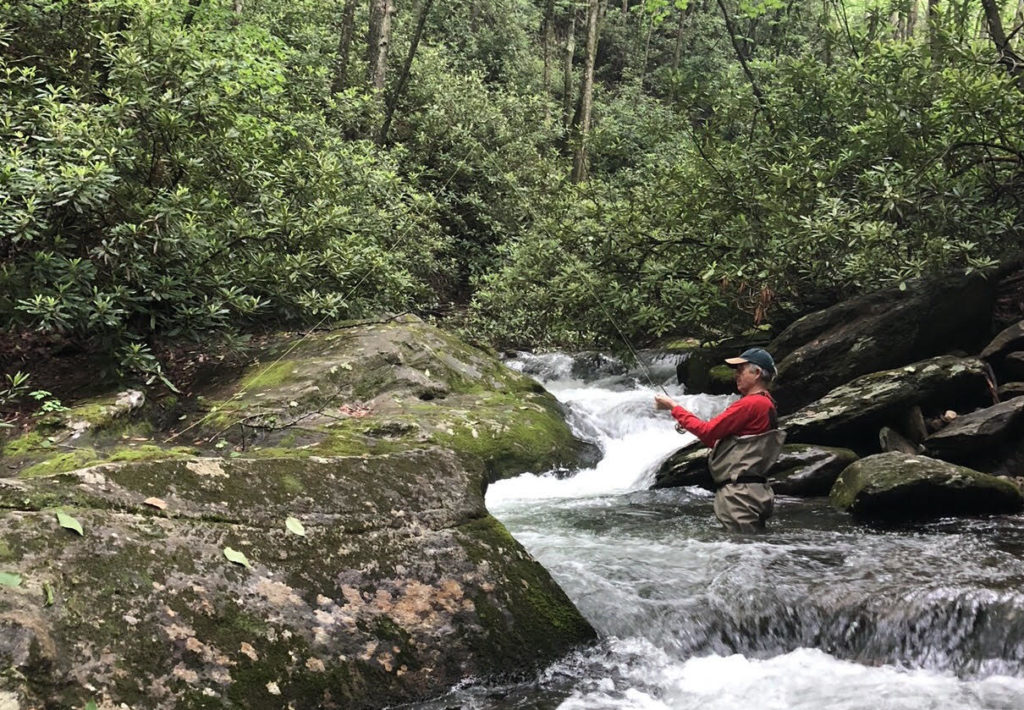 Two of the most popular outdoor sports are fly fishing and mountain biking. These mountains create long climbs and fast descents. Elevation changes quickly, but that’s not the only reason these trails are exhilarating. Trail conditions pack a punch with lots of roots, rocks, and creeks, scattered throughout lush protected forest lands. Trails are connected by U.S. Forest Service roads and allow you to put together rides from short one hour loops to all day, unrestrained mega rides. Legendary trails like Heartbreak Ridge and Kitsuma Peak/Young’s Ridge are local downhill destinations. A lesser known, but equally worthy downhill is the Woods Mountain Loop.
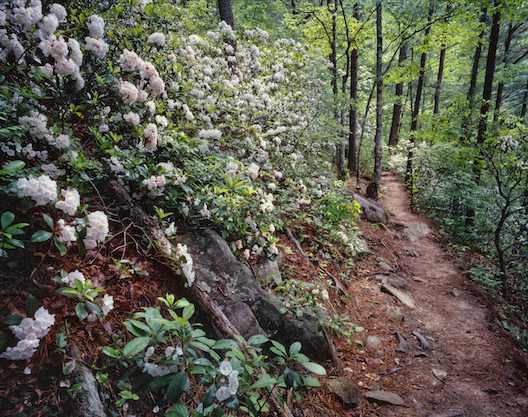
Woods Mountain Trail
The Woods Mountain Trail travels through a true wilderness area and can best be described as epic. The 25 mile trail begins and ends north of Marion, North Carolina. This vast, undeveloped area of the Pisgah National Forest is classified as a major roadless area. With dense forests, the trees are impressive, and the lush green colors paint the perfect background for trail exploration. This trail is for experienced riders only.
 Before the ride, we suggest you download the MTB Project Mobile app. Cell phone coverage is spotty in areas, or non-existent, or bring a detailed trail map. You may want to take a copy of the Mountains-To-Sea Trail Map with you, Section 4 crosses the Woods Mountain Trail.
How to get there! From Interstate 40, take Exit 85/US 221 North. Follow US 221 North approximately 11 miles. Turn left into the USFS Woodlawn Work Center. The loop starts at the kiosk, where the MTS Trail and Woods Mountain Trail are one.
Begin climbing and then descending to Tom’s Creek where the Woods Mountain Trail continues left. Take a right on Forest Service Road 1073 to Harris Creek. Climb steeply for 3 miles to Forest Service Road 469A to a gate at Forest Service Road 469. Turn left here on Forest Service Road 469. Continue for about 4.5 miles, passing a gate, and staying left. Continue 2 miles and look for Bad Fork Trail on the left. Climb this to an intersection with Woods Mountain Trail. Take a left here and start the hardest climb of the ride.
 At the summit, take a moment to recover before preparing for the 5 miles and 2000 feet of sheer downhill terrain. Stay on the trail, don’t take the fork in the road, and you’ll rip it down to Forest Service Road 1073. Take a left at a gate and follow the Woods Mountain trail back to the trailhead.
As you’re driving out, stop by downtown Marion. You’ll find pubs, restaurants, and great places to swap stories over a beer Find individually owned area cabins, cottages, B&Bs, inns, or a hotel by going to the county’s tourism site. Call 888-233-6111 to request free maps, guides, and more. www.blueridgetravelers.com


