Our group of four are spread across a grassy helicopter pad in southwestern Pennsylvania’s Ohiopyle State Park. We are at a familiar place for many of the one-and-a-half million annual visitors to Ohiopyle, the back of a parking area at the takeout of the Lower Youghiogheny River, known as Old Mitchell Place. Yet at the moment we are having a difficult time figuring out where we are supposed to go.
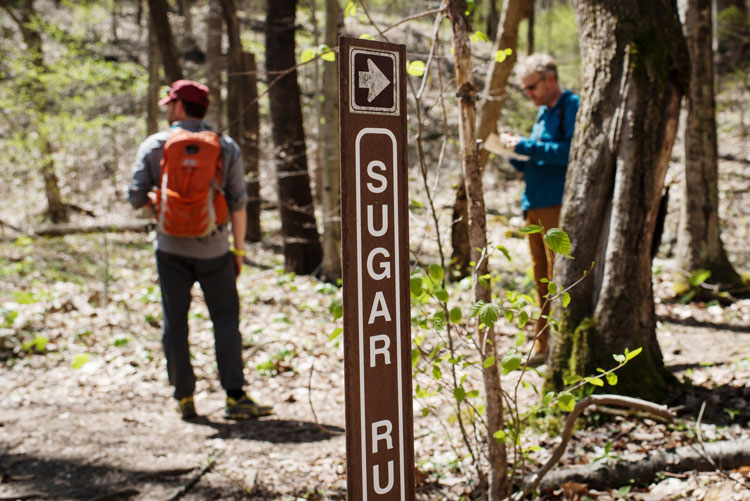
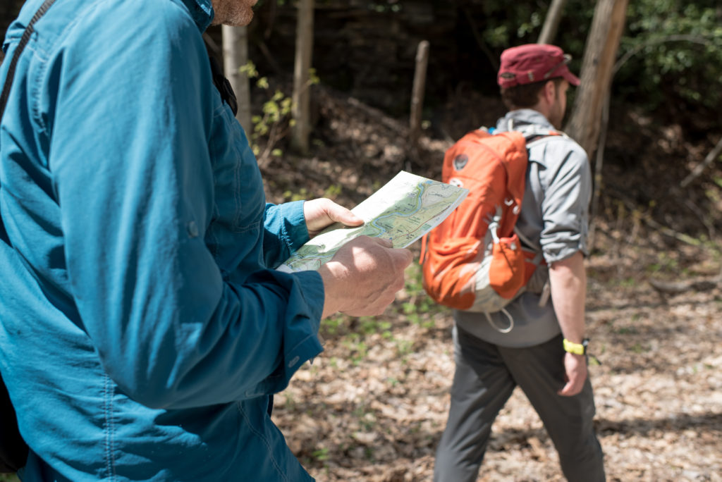
“So, that’s Sugar Run Trail there, and here at a right angle should be Mitchell,” says Michael Hermann, founder and lead cartographer of Purple Lizard Maps, as he points to our intended target on the state park trail map. It should be within our site. Yet on a sunny spring day, with young green just starting to sprout, our trailhead is nowhere to be seen. We wander further north along the parking area and eventually find the Mitchell Trail. Hermann makes a note of the discrepancy – a difference of roughly a hundred yards – then we continue on the trail.
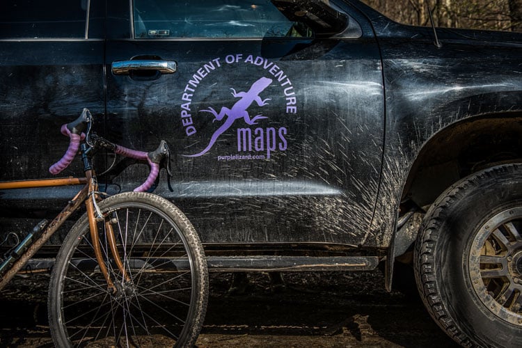
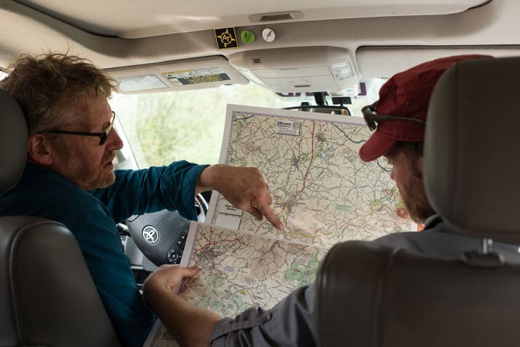
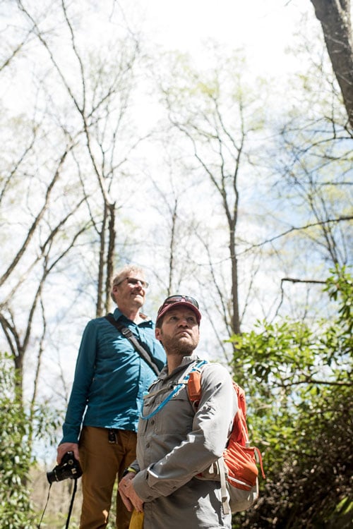
Photographer Regina Nicolardi and myself are accompanying Hermann and Dave Gantz, the aptly titled Trail Guru of Purple Lizard, who has 15,000 miles of hiking under his belt, including the Appalachian and Pacific Crest Trails. We are on a fieldwork mission for the company’s upcoming title on the Laurel Highlands region of Pennsylvania, set to release early this summer. The purpose of our outing is a map maker’s task referred to as, “ground-truthing,” the process of verifying, in person, the contents of other existing maps and guides that are being used as sources. In today’s age of digital content, information on outdoor destinations is easier than ever to find. But online aggregation has also led to the perpetuation of misinformation, leading down a path of inaccurate resources and frustrated outdoor enthusiasts. Hermann adheres to a different route when compiling a map, due diligence.

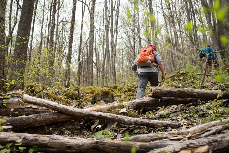
In two days with the Purple Lizard crew, we drove unimproved roads in the state game lands, scoped out scenic overlooks, spotted local climbing crags, rode rail trails, and discovered the types of places that may be deserving of a small, lizard emblem on the map. A symbol reserved for spots of fascination the team wants to encourage their audience to seek out for themselves. When we left, the two stayed on to continue additional truthing, as well as meet with land managers of different public use areas, and stop in to chat with local outfitters who can provide valuable insight on different recreational aspects of the region.
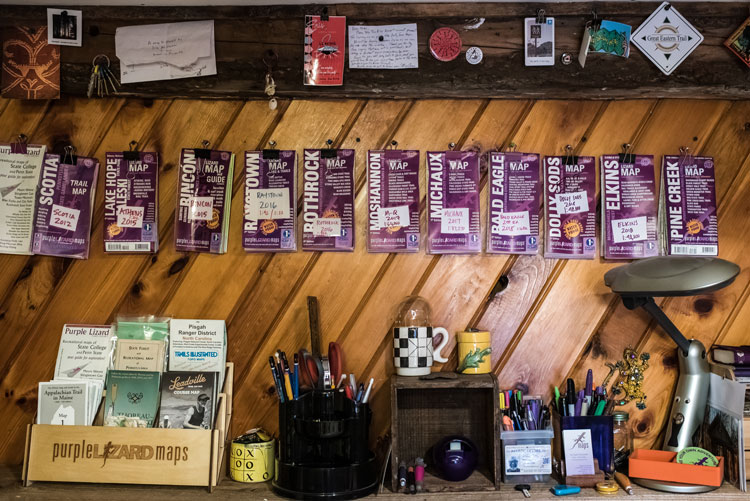

Back at his home office in central Pennsylvania, near the ridges and valleys of Rothrock and Bald Eagle State Forest, Hermann compiles their findings – digitally illustrating a reference that is both accurate and enjoyable to look at. A Purple Lizard Map is the finished craft of a thousand hours of labor by Hermann and his small team, that include, his wife Justine Andronici (who takes on many business roles as the Director of Very Important Things), contributing cartographer Erin Greb, as well as Dave Gantz.
Hermann admits the way he goes about producing a map is not the most cost effective route, but he and the other members of the company also believe the resulting aesthetics of their maps contribute to a greater mission, sharing the recreational value of the Appalachian region.
“We are seeing now that our best contribution is to keep doing what we are doing. We bring people to Pennsylvania because there is amazing opportunity here,” Justine Andronici states, referring to the role of Purple Lizard in expanding popularity of outdoor recreation in the region. According to the company, Purple Lizard Maps are distributed in 150 retail locations and owned in 38 states. Andronici continues, “we see our goal as to elevate the understanding of what’s possible in the Mid-Atlantic.”
“And we do that through beautiful cartography,” Hermann adds, speaking of the creative dedication he places in each Purple Lizard project as well as other freelance endeavors, including an award-winning historic atlas of Maine. “There is so little art in modern cartography even though that’s the whole origin of it. The land managers, especially at the state level, they’re thrilled we are coming in and making a map of that area because we make it look so inviting.”
Their titles have highlighted areas largely passed over by large scale map publications, but by no means lacking in recreation. Laurel Highlands will be the thirteenth map released under the Purple Lizard banner. Nine have been released for Pennsylvania. As well as one in Ohio. But not all of the areas charted have been obscure to the mainstream. Purple Lizard has also produced a map and guide to the winter surfing retreat of Rincon, Puerto Rico. And in 2018, two maps featuring West Virginia’s Monongahela National Forest.
The independent publisher plans to add more volumes of the Keystone State but also expects to continue expanding to more realms of the Mid-Atlantic. Hermann hints at the idea of Harrisonburg, Virginia down the trail. A corridor featuring Shenandoah National Park, and the George Washington and Jefferson National Forests.
I posed a question to Hermann and Gantz during an interview previous to our fieldwork. If the maps are as successful at drawing people to lesser known places of recreation as hoped, do you run the risk of overcrowding, as has been seen in well-known parks and forests?
Dave Gantz sees an appreciation for these places outweighing any fear of overuse, “I always think about it, but I’m more on the John Muir side. It’s going to go away if you don’t promote it.”
Michael Hermann adds that overuse is another reason for the importance of well-designed maps. Expanding the understanding of offerings an area holds rather than sticking to the same place. “We see our maps as dispersion tools. You can lay it out and find other trailheads or trail systems. It opens people’s eyes to other opportunities. There are a lot of amazing trails.”
The second day in the Laurel Highlands we biked out and back on a developing rail trail system known as the Indian Creek Valley Trail. Starting from Indian Creek Reservoir we descended four miles on the engineered plane, following Indian Creek as it cascaded over large slabs of bedrock. Our tires rolled over dirt and gravel, passing through a mountainside scene full of trillium and other wildflowers, garage-sized mossy boulders, and stands of rhododendron and hemlock. We came around one last bend and the rail trail ended at an active rail line, where the creek met the wide, and at this point, mellow Youghiogheny. We knew just across the river was the 150-mile Great Allegheny Passage. A trail visited by one million annually. Yet here we had the Indian Creek Gorge all to ourselves. The trail developers hope a pedestrian bridge will one day bring more visitors across the river to their expanding system. But for now, it’s one of those secret places of adventure hiding in plain sight. Standing there with Hermann and Gantz, looking at the merging Appalachian gorges, you get the sense it’s a place they want to see others enjoy. Perhaps a view a lizard could shed some light on.