Find Some Peace and Solitude on These Lesser-Known Backpacking Routes
We’ve all been there. Desperate for a few quiet days in the woods, you grab your gear and hit the nearest backpacking route. But when you see the packed parking lot at the trailhead you realize that much-needed zen walkabout is about to be a crowded hike. Sigh. To soothe your crowd-wary soul, we chatted with experienced backpackers across the Southeast to find the best lesser-known and lesser-traveled routes in the region.
North Fork Trail to Middle Fork Trail Loop,
West Virginia
Length: 22.9 miles
Solitude Score: Other than a black bear or two, you’ll have the entire trail all to yourself.
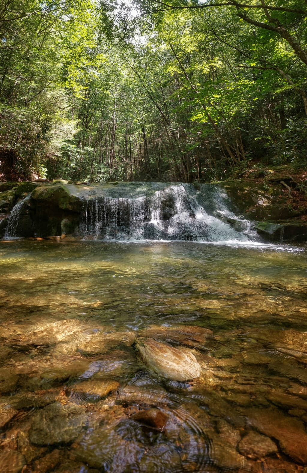
Rosanna Springston’s roots in the Cranberry Wilderness of West Virginia run deep. As a child, she spent many nights camping in this 47,815-acre pristine dreamland. Surrounded by shoulder-high ferns and towering red spruce, Springston would listen to cicadas whirl and screech owls trill as she drifted off to sleep. Come morning, she would meander down the same rugged trails her grandmother walked back when this area served as a logging camp.
Though decades have passed, Springston—now a U.S. Forest Service employee—still returns to the Cranberry Wilderness when she needs to find herself again. Specifically, she backpacks the North Fork Trail to Middle Fork Trail Loop. Clocking in at 22.9 miles with nearly 3,000 feet of elevation gain, this short yet strenuous backpacking route offers little in the way of breathtaking views. “But you will find solitude,” Springston promises. “Even if there are cars at the trailhead, you won’t run into too many people—if anyone.”
Since there’s no cell coverage in most parts of the Monongahela National Forest, you also won’t be interrupted by beeps, buzzes, and persistent phone calls. “Just remember to bring a good paper map and GPS,” Springston suggests, “because the trails aren’t blazed.”
Donut Hole Trail,
Pennsylvania
Length: 94.2 miles
Solitude Score: You’ll need to share the trail with day hikers as it travels through Hyner View and Hyner Run state parks. However, your patience will be rewarded with dozens of desolate miles.
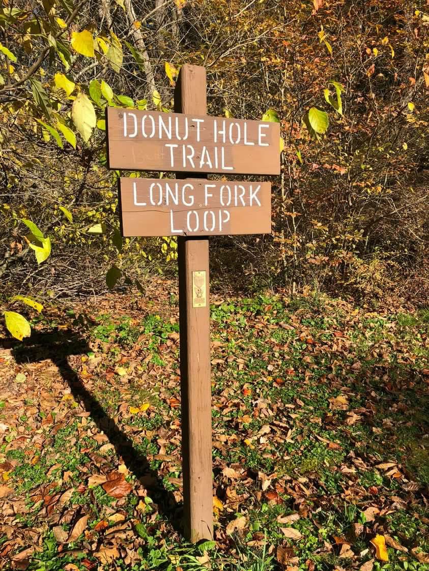
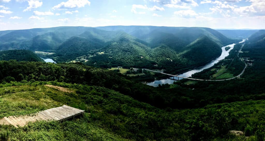
Before you get your hopes up, let’s set the record straight: The Donut Hole Trail (DHT) is not a long-distance promenade of sugary, fried confections. Instead, it’s a lung-busting, 94.2-mile trek that loosely follows Pennsylvania’s Susquehanna River.
Starting from the western terminus in Jericho, the D.H.T. makes a speedy ascent to the top of the Allegheny Plateau only to drop into a deep gorge. This rollercoaster ride of elevation gain and loss is persistent, says Jeff Mitchell, author of “Backpacking Pennsylvania: 37 Great Hikes.” “It’s a rugged trail,” he notes. “But the cascades, views, and isolation more than make up for it.”
For Mitchell, a true trail highlight is Hyner View State Park at mile 65.1. Though this area can be busy during the warmer months, it’s worth sticking around to see the sunrise. “It’s a stunning vista,” says Mitchell. “You’re above the clouds that form along the river far below.”
From the lookout, the trail descends steeply to the West Branch Susquehanna River. (To save your knees, trekking poles are highly recommended.) It then follows an unpaved road through the ghost town of Whetham, ending at the remains of a Civilian Conservation Corps camp a few miles north of Farrandsville.
Bartram Trail,
North Carolina/Georgia
Length: 110 miles
Solitude Score: Expect hikers at intersections with the Appalachian Trail (A.T.), but a secluded hike otherwise.
In 1773, American botanist William Bartram set off on a four-year, 2,400-mile excursion through the South. His mission was to find unique plant specimens, which he did. But Bartram also found raging rivers, venomous snakes, and impassable mountains. You can read about these wild, breathless adventures in his book, “Travels.” Or you can experience his sojourn for yourself.
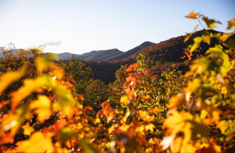
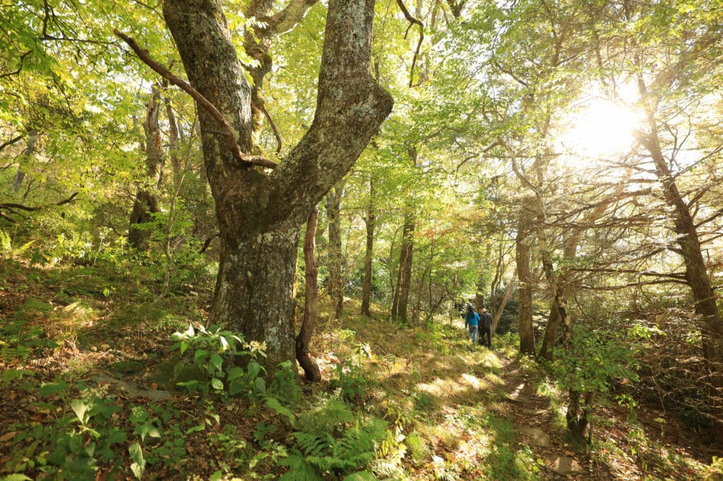
Designated in 1968, the Bartram Trail (B.T.) is a 110-mile route that retraces Bartram’s steps through north Georgia and North Carolina. Most thru-hikers choose the northbound route, starting their journey at Russell Bridge on Highway 28 near Clayton, Ga., and then steadily climbing toward Cheoah Bald, a 5,062-foot summit known as the “Grandstand of the Atlantic.”
According to Brent Martin, executive director of the Blue Ridge Bartram Trail Conservancy, the B.T. is “pretty remote with limited access.” Though you may encounter hikers where the Bartram Trail intersects with the A.T. (Wayah Bald in the south and Cheoah Bald in the north), the path is otherwise desolate. It’s certainly the “trail less traveled,” says Martin.
Allegheny Trail,
West Virginia
Length: 300+ miles (in progress)
Solitude Score: You’ll be able to count fellow hikers on a single hand.
There’s a sense of camaraderie on the A.T., which is great if you’re into telling tales around a pot of chili mac. But for the introverts among us, there’s the Allegheny Trail (ALT). Running from the Mason-Dixon line near Bruceton Mills, W.Va., to Peters Mountain on the Virginia-West Virginia border, this 300-mile (and counting) footpath is perfect for backpackers who want a long-distance challenge without all the people.
“It’s a pretty remote trail,” quips Jeff Byard, president of the West Virginia Scenic Trails Association. “You’re definitely not going to see the number of folks you’d see on the A.T.”
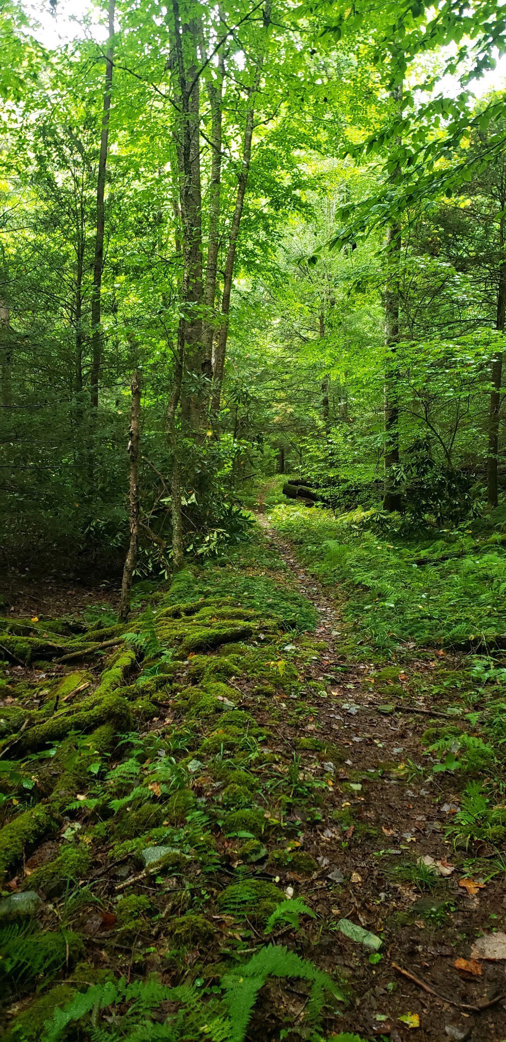
For the first 90 miles of the ALT, hikers follow scenic roads lined with wild apple trees. The trail then enters Blackwater Falls and Canaan Valley state parks, winding its way up to Shavers Mountain, a 4,432-foot treasure rooted in the eastern reaches of Randolph County. From there, it traipses through virgin forests before hitting a 20-mile gap of unfinished trail near Covington, Va.
Once this section is completed, the ALT will span about 330 miles, Byard explains. “That’s the perfect length,” he says. “You don’t have to take months off work, but you still have decent bragging rights.”
Cover Photo: The Donut Hole Trail is Pennsylvania’s most remote and rugged footpath. Photo by Heather Knapp
