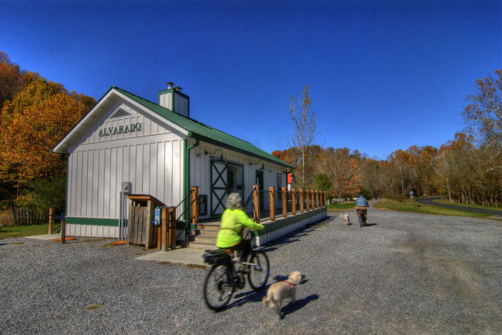
Following the route of an old railroad bed, the Virginia Creeper Trail is named for the steam engine that once chugged along it and for the Virginia Creeper vine that populates the area. With the abandonment of many railroads in the 1970s, a national movement gained momentum to convert train tracks into trails. A coalition of local citizens, government and the US Forest Service banded together to acquire the old railroad right-of-way, and thus the Creeper Trail was born in 1987.
The 34-mile multi-use trail begins in Abingdon, a popular access point at Mile Marker 0, and then carries on through rolling farmland to Damascus at Mile 15.5. From there, the Virginia Creeper winds up to its highest point at Whitetop Station, winding through Appalachian hardwoods and alongside cold mountain streams filled with native brook trout.
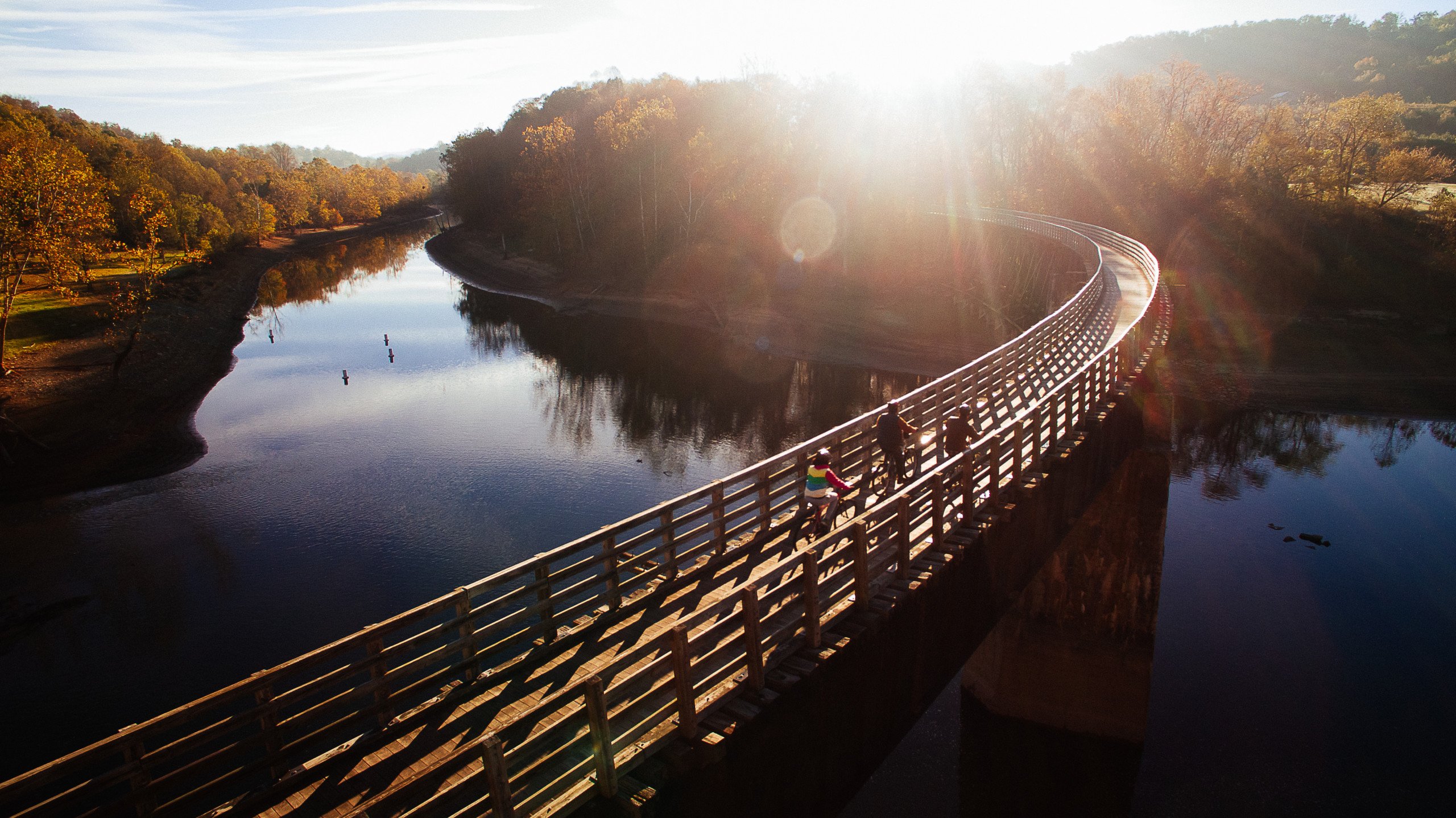
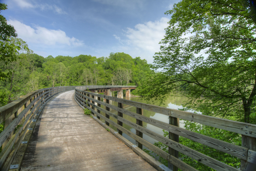
Forty-seven trestle bridges provide scenic views of the region’s creeks, farmland, and mountain forests. While technically considered a mountain biking trail, the Virginia Creeper is well-maintained and consists mostly of crushed stone, so it can be easily navigated on a hybrid or road bike.
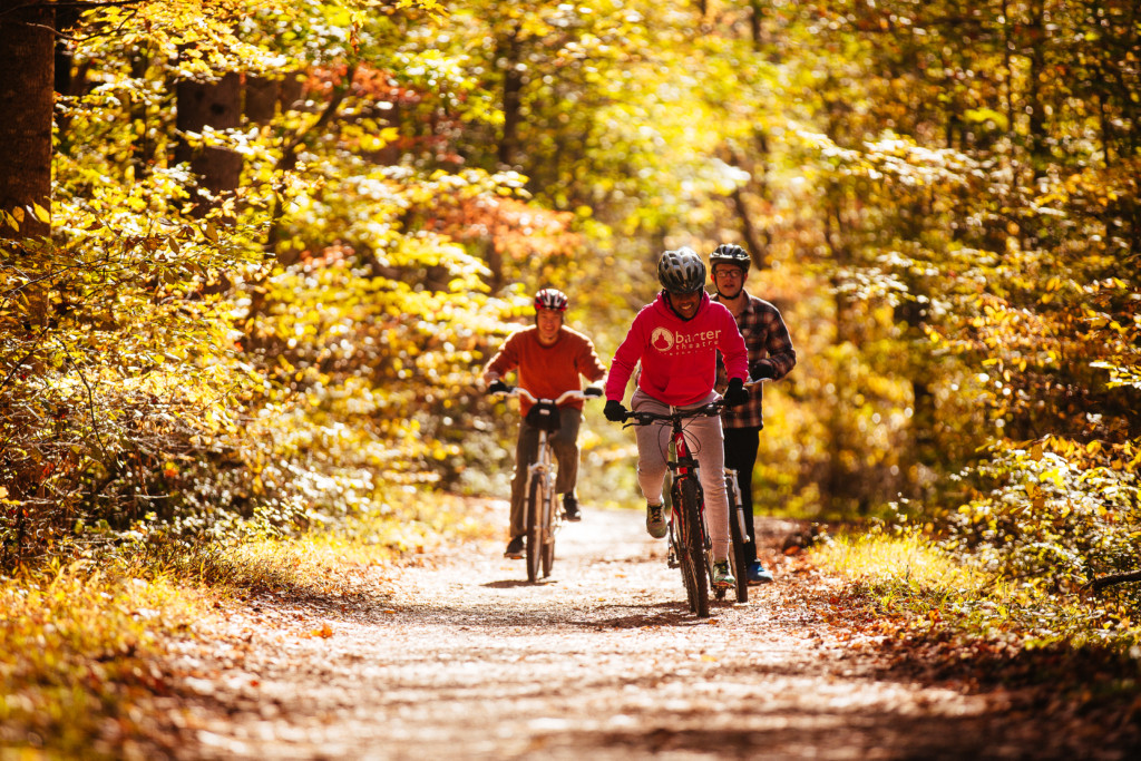
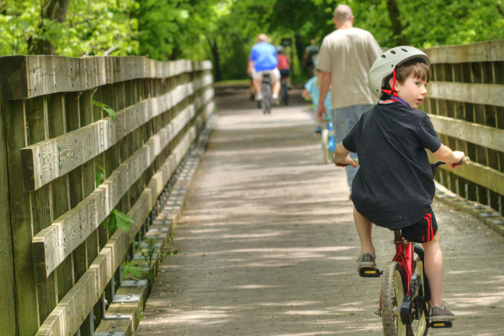
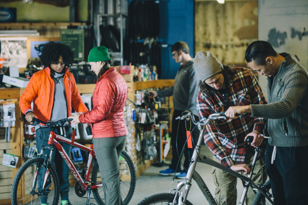
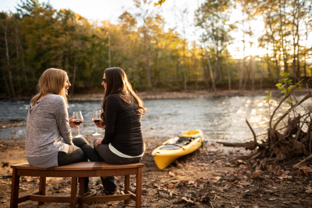
The Virginia Creeper Trail is one of the most accessible trails you’ll find, with plenty of outfitters, lodging and dining nearby. It’s equally popular with beginners and advanced riders; multiple entry points mean that you can enjoy an easy 2-hour ride, or challenge yourself with an all-day, 68-mile round trip. Although biking is popular with visitors, don’t forget that hiking and horseback riding are also permitted.
Start in downtown Abingdon, VA, for a leisurely ride through rolling farmland. Along this section of the trail, it’s not uncommon to see grazing horses and cows. Some might even come right up to the fence to say hello! The “lower” section also features the most stunning trestle bridges, and easy access to Abingdon Vineyards, a farm winery located along the South Holston River. Don’t feel like biking back to Abingdon? Schedule a shuttle pick up at any of several points along the way.
Alternately, take a shuttle to Whitetop Station in Jefferson National Forest, to bike the “upper” section. Then enjoy an easy 17-mile coast/pedal down the mountain to Damascus, VA.
This ride takes anywhere from 2 to 4 hours, depending on your pace. Stops along the way include the old railroad station at Green Cove, operated by the US Forest Service; check out the high trestle at Creek Junction, where the trail runs beside some of the best trout fishing in Virginia.
After the trail, round out your trip with a stop at Wolf Hills Brewing in Abingdon, or make it a long weekend with a show at Barter Theatre, and live music at Bonefire Smoke House and Musictorium. Abingdon is a foodie destination, recently named Best Small Town Food Scene in the country by USA Today Travel.


