Spin Your Wheels
Few outdoor activities let you cover as much terrain and take in as many sites as road cycling. But tackling the logistics of picture-perfect adventures can be tricky. Lucky for us, the Blue Ridge region is chock full of top-tier destinations that pair incredible scenery with easy access.
From a jaunt along the Blue Ridge Parkway in one of the nation’s top outdoor towns, to a loop through West Virginia state parks and wilderness areas, to cruising mountain peaks in the highlands of North Carolina, these cycling routes offer ready-made adventure without the headache of excessive planning.
HARPERS FERRY / SHEPHERDSTOWN, WEST VIRGINIA
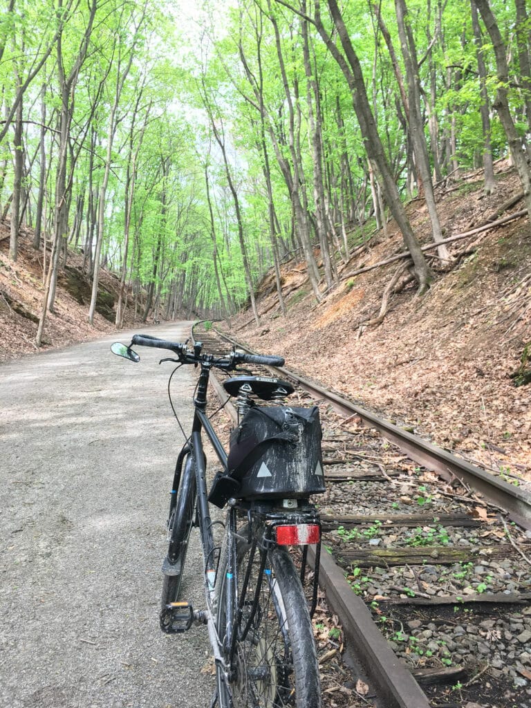
Perched high in the Blue Ridge Mountains along the Potomac and Shenandoah Rivers, these two towns are just 12 miles apart and offer some of the prettiest scenery in the Eastern U.S. Connect them via a string of rural backroads and the Chesapeake and Ohio Canal Rail-to-Trail for a stunningly beautiful loop.
The Ride: Harpers Ferry / Shepherdstown Loop, 34 Miles — Start at Harpers Ferry Brewing and follow Adventure Center Lane onto U.S. 340 North. Cross Harpers Bridge, being sure to soak up grand views of the Potomac River, then turn right onto Keep Tryst Road after about a mile. Follow for 1.5 miles and take a right onto the Chesapeake and Ohio Canal Trail access, then another right onto the trail. Revel in 14.8 miles of riverside views, which include 19th century stone canal locks, railroad bridges, the confluence of the Shenandoah and Potomac, historic downtown Harper’s Ferry, and more. Hang a right at Lock 38 and follow Canal Road to take a left on Shepherdstown Pike. Cross the river, then hang a left onto West German Road in .8 miles, which soon becomes River Road.
Follow the latter through rural breathtaking West Virginia back country for 5.7 miles and take a left onto Knott Road. Take another quick left onto Bakerton Road and continue until it becomes Potomac Street, in about 5.3 miles. Follow the latter along the Potomac into downtown Harpers Ferry, then turn right onto Shenandoah Street. Pass John Brown’s Fort and Harpers Ferry National Historical Park, then turn left onto U.S. 340. Enjoy the views as you cross the Shenandoah River, then continue for 1.8 miles back to Adventure Center Lane.
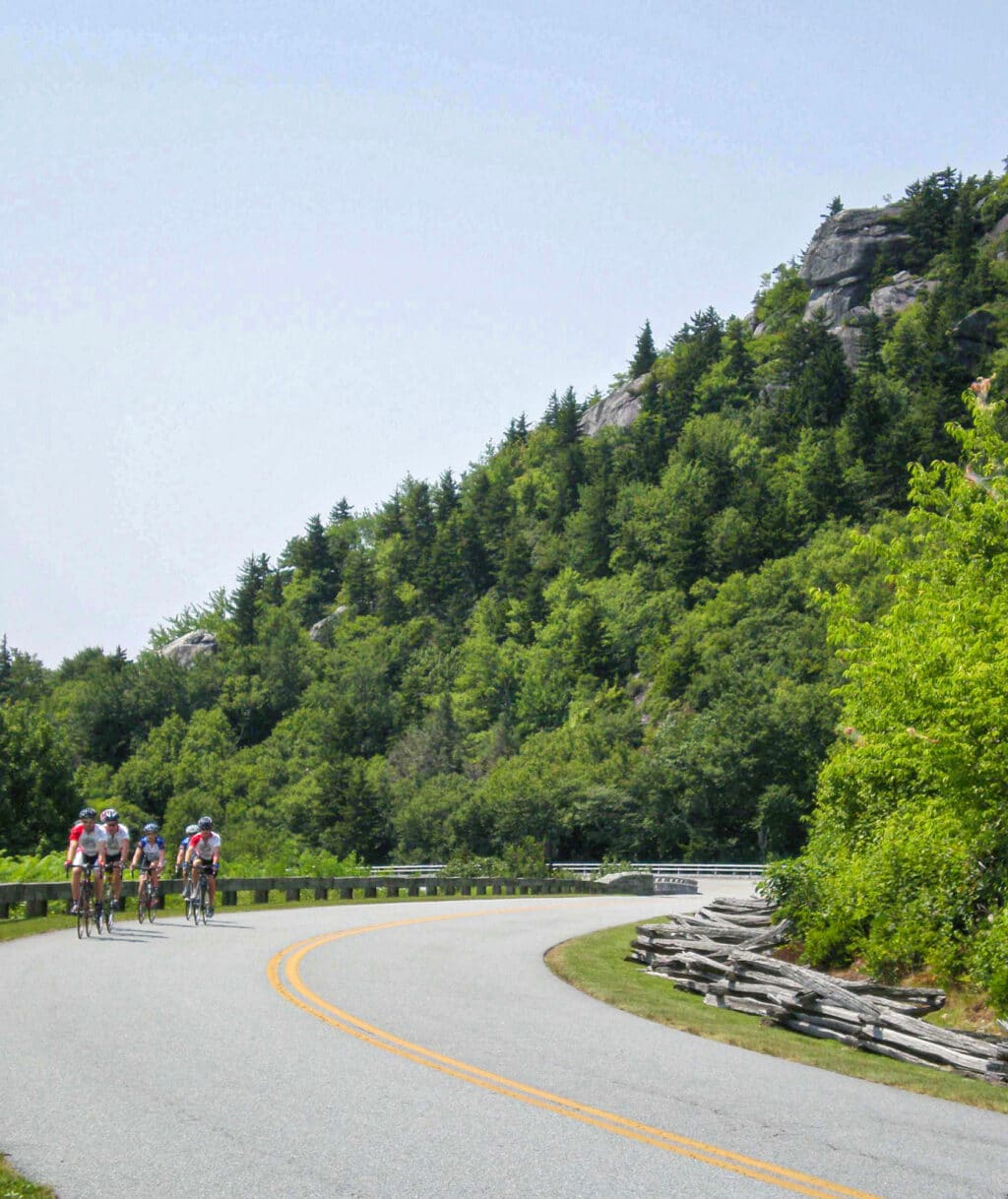
DAVIS, WEST VIRGINIA
The tiny, 700-person town of Davis sits high in the Allegheny Mountains surrounded by 4,000-foot peaks, state parks, and national forest lands. Revered by hiking and mountain biking enthusiasts, this outdoor hub also offers fantastic cycling opportunities. Isolated high-elevation roads bring majestic views of Canaan Valley, Timberline Resort, and Blackwater Falls State Park.
The Ride: Davis / Hendricks Loop, 44 miles — Start in downtown Davis by Stumptown Ales and take 32 South for 3.8 miles, passing through Blackwater Falls State Park then turning left on Cortland Road for a descent brimming with pastoral views of rural Canaan Valley. After four miles, turn right onto Summer Road, then left back onto 32 by the Canaan Valley National Wildlife Refuge Visitor’s Center. Follow 32 for 3.1 miles of panoramic mountain views, passing Canaan Valley Resort, then turning right onto County Route 45/3 for a lovely descent through the Monongahela National Forest. Continue for 2.4 miles onto WV-72, which climbs above the Cheat River’s eponymous fork, following it for about 13 miles into the tiny village of Hendricks. There, continue on 72 to County Route 219/4, climbing for 3.2 miles, then turning right onto U.S. 219 North for a nine-mile climb into the town of Thomas. From there, follow U.S. 48 past the delectable Mountain State Brewing Co., turning back onto WV-32 and into downtown Davis.
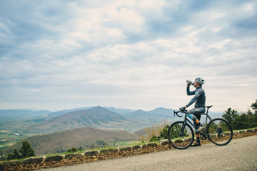
ROANOKE, VIRGINIA
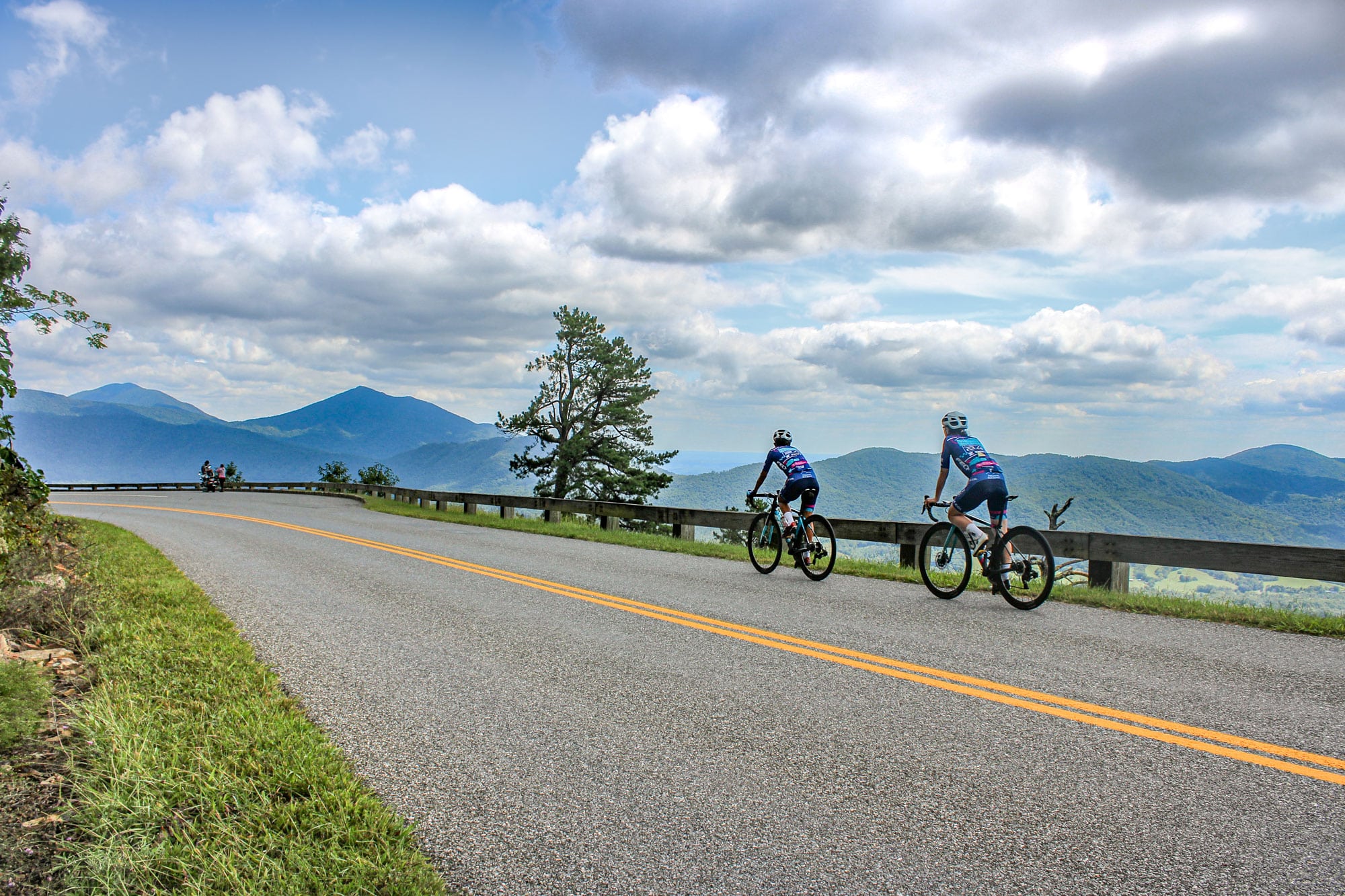
Nestled between the Alleghenies and the Blue Ridge Mountains, Roanoke features a bustling downtown area that’s just seven miles from the Blue Ridge Parkway. Known as one of America’s most bike-friendly cities, it was tapped to host 2023’s youth and amateur road cycling national championships. If you’re looking for pavement and views, Roanoke doesn’t disappoint.
The Ride: Downtown to Blue Ridge Parkway Loop, 25 miles — Start in the historic Grandin Village neighborhood at the Scratch Biscuit Company and follow Memorial Avenue Southwest over the Roanoke River, turning right onto Hannah Circle Southwest. Take a quick right onto the Roanoke River Greenway and continue onto the outer trail around Vic Thomas Park. Cross the river again and follow the greenway for about 5.3 miles through Wasena Park, Smith Park, River’s Edge Park, Piedmont Park, and Bennington Park. Hang a right onto Bennington Street Southeast and backtrack to hang a left on Riverdale Road Southeast. Continue through a quiet neighborhood for about .5 miles before turning right onto 19th Street Southeast. Continue for about 1.5 miles to Highland Road, pass under the Blue Ridge Parkway, and turn left onto Rutrough Road Southeast. Climb through dense forests for 1.5 miles to Explore Park, then follow the Roanoke River Parkway to turn left on the Blue Ridge Parkway, being sure to catch Pine Mountain Overlook’s panoramic Roanoke Valley views. Enjoy pastoral Parkway scenery for 5 miles then turn right onto Mill Mountain Parkway for a steep climb and lengthy descent back into town. Continue for 4.3 miles, take a left onto Hamilton Avenue, then a quick right onto Piedmont Street Southeast, which you’ll use to re-access the Roanoke River Greenway. Hang a left and continue for 3.2 miles to the Scratch Biscuit Company.
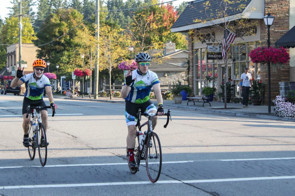
BLOWING ROCK, NORTH CAROLINA
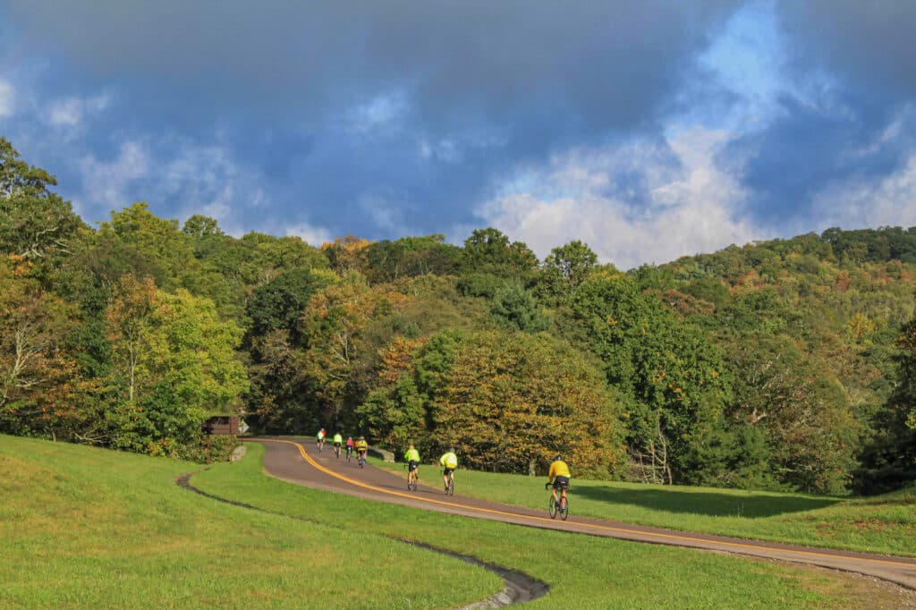
The 1,000-person town of Blowing Rock sits at an elevation of about 3,500 feet and has a downtown area located within walking distance of the Blue Ridge Parkway. This longtime outdoor destination borders Pisgah National Forest’s 192,000-acre Grandfather District, and offers easy access to countless overlooks — including its 3,700-foot namesake vista. Convenient amenities pair with Parkway rides and an abundance of scenic byways for exquisite pedaling experiences.
The Ride: Blowing Rock / Parkway Tour, 21.3 miles — Start downtown at Blowing Rock Brewing Company. Turn left onto Sunset Drive, then left onto Main Street, hanging a quick right onto scenic Laurel Lane, which soon becomes Wonderland Trail. Climb through the national forest-abutting neighborhood for 1.8 miles then turn left onto U.S. 221 South. Proceed for about .6 miles, then turn right onto a view-rich, 6.5-mile stretch of Parkway. You’ll pass Trout Lake and Moses Cone Memorial Park, where you can take a quick detour to historic Flat Top Manor to catch 360-degree, 3,800-foot views from Thunder Hill Overlook. Exit the Parkway on Aho Road, then turn right onto Friendship Church Road. Descend through bountiful mountain forests for about 2.8 miles, then turn right on Bamboo Road, which recrosses the Parkway to become George Hayes Road after 2 miles. Climb alongside boulders and creeks through rhododendron forests for 2.1 miles, then turn left onto the Parkway. Hang a left onto Green Hill Road after 2.6 miles, go .5 miles, then turn right on Wonderland Drive. Continue for 1 mile and turn right onto East Cornish Road, which quickly becomes Sunset Drive. Follow Sunset back into town to the brewery.
Cover photo courtesy of Visit Virginia’s Blue Ridge.
