It was a warm and sunny morning in early spring when we arrived at Awendaw Creek Canoe Launch, the type of day when better-known put-ins across the country would be swamped with paddlers. But we were the only two boaters in sight.
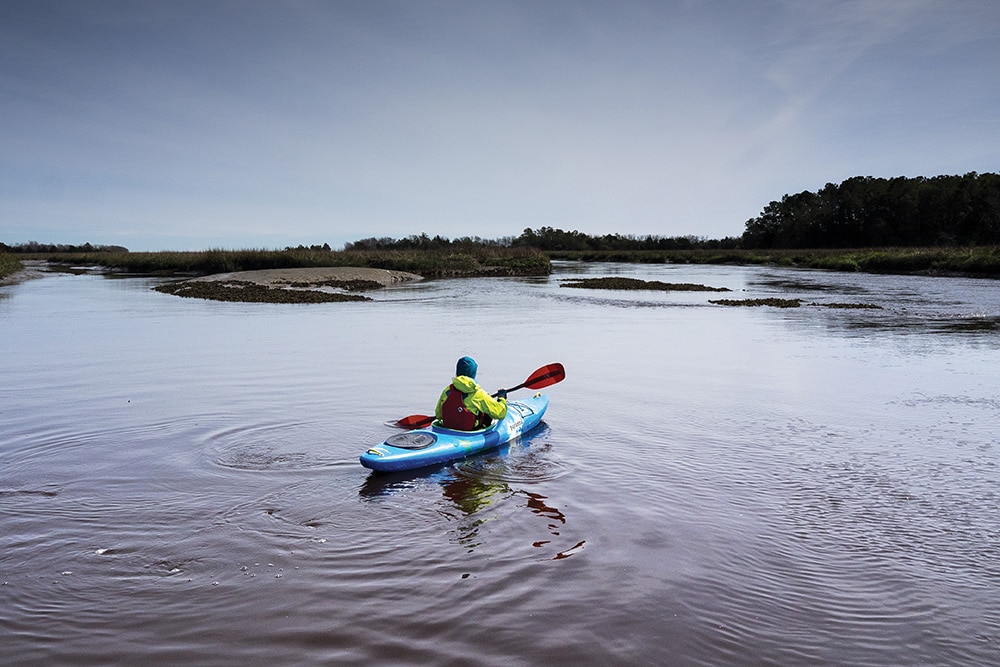
Looking around, I didn’t see much evidence of a topnotch paddling destination. The creek channel was engorged with inky blackwater that moved sluggishly upstream from the peaking tide. It didn’t look particularly inviting for paddling in our intended direction, toward the Intracoastal Waterway.
The wooden boards on the walkway down the sandy bluff were warped and weather beaten. The floating dock was damaged, with one corner jutting skyward and the other underwater. A few reminders of recent hurricanes and that, in Low Country, first impressions can be misleading.
I’d studied the tide charts and knew that within minutes, the tide would start falling. The current would reverse downstream, snaking through plains of golden cordgrass toward the Atlantic Ocean. In the meantime, we prepped our gear and waited for the shift.
To say I never imagined paddling in a place called Low Country would be a major understatement. For a dozen years, I was mostly a whitewater paddler who did occasional flatwater trips with friends. Then my wife and I relocated to a college town near Myrtle Beach. Surrounded by swamps and a lack of topography lines, I wasn’t particularly pleased with the move.
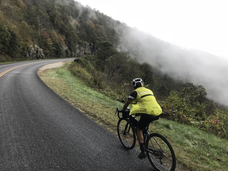
I quickly identified what I thought were the main outdoor opportunities in the area. A few short hiking trails through what I called the wildlife refuge of lowered expectations. A flatwater section on the Waccamaw River where the excitement came from dodging speedboat wakes. A local dunes trail for mountain biking. And a 5-mile loop through suburban neighborhoods where I could road cycle laps until my brain numbed enough to forget where I lived. Every chance I got, I’d hit the road heading uphill.
Then, one day, a friend shocked me out of my coastal complacency by mentioning Cumberland Island National Seashore, five hours south in Georgia. After paddling, biking, and hiking around this amazing near-wilderness, I had a sudden realization: I hadn’t given Low Country enough of a chance. I began searching for other adventurous spots I must have missed. One of the first images that popped in my head was a sign on Highway 17 for Awendaw Creek Canoe Launch.
So here we were. When we began paddling at 10 a.m., the current was moving slowly downstream. Being new to the area, I’d spent some time learning about tides on the Southeast Coast. There are four tides every day, two highs and two lows, with a typical range of about four to five feet around South Carolina’s Low Country. Each rising or falling tide lasts six hours, and the bulk of the water moves through during the middle third of a changing tide, when the current is fastest in either direction.
Sure enough, during our first hour on the falling tide we moved lazily downstream through sweeping meanders between pine forest. Bald eagles perched and herons circled. Fish jumped. I paddleboarded into a narrow side channel before thinking about gators and hustling back out.
Several times we passed beneath the Awendaw Passage Trail on the creek-left bank, which runs for about four miles between the canoe launch and Buck Hall Recreation Area, overlooking the Intracoastal Waterway.
As we continued downstream, the current quickened and the water level within the creek channel dropped. This revealed cordgrass roots, mud banks, and eventually tidal flats covered by oyster reefs. A few slightly elevated islands of hardwood trees rose up from the marsh grasses.
These islands are shell middens, built by Native Americans who piled oyster shells above the high tide level. Archaeologists are uncertain about the precise purposes for these platforms. They were probably created for a few reasons, including fishing, camping, religious ceremonies, oystering, and collecting refuse.
In the distance, I spotted a green navigation marker.
Odd, because the Intracoastal Waterway itself was completely hidden from view. When a tugboat passed by, it looked more like a tractor plowing through tallgrass.
Stretching 3,000 miles from Massachusetts to Texas, the ICW is a linked series of channels, bays, and dredged canals. Through Low Country, it follows tidal rivers and inlets between the mainland and the barrier sea islands. Recalling my previous trip out to Cumberland, a thought occurred.
“Maybe we’ll see dolphins today?”
My wife perked up curiously as we approached the waterway. Not much was happening on this sleepy Saturday in late February. A few fishing boats floated about. A single pelican soared across the channel. Some bored cormorants tried to look busy. We passed the waterfront campground of local paddling outfitter, Nature Adventures Outdoors. But their season was still a few weeks from starting and their floating dock rested on a mudflat.
From my paddleboard, I saw two shapes moving through the water in front of the Buck Hall dock.
“Is that a dorsal fin?”
“No way,” said my wife.
Two bottlenose dolphins were swimming directly toward us, their fins rising every twenty feet. Approaching within 20 feet, they circled playfully around us for a while, before continuing their way south.
After lunch at Buck Hall, while waiting for the current to switch, we paddled back to our vehicle on the rising tide. We’d found a great new Low Country paddling adventure. And two weeks later, we were back.
